All Cities
New Zealand·Oceania·GMT+13 · Pacific clarity

Auckland

Volcanoes, harbours, thin bright air.

Auckland is a city of small volcanoes — one climb, one bay, a whole city seen.

2 soul-aware routes · walking & running
Mount Eden Summit — Volcano climb, short & steep
First light·Volcano climb, short & steep

Mount Eden Summit

4.4 km+180 m5:45 /km
Mixed terrain
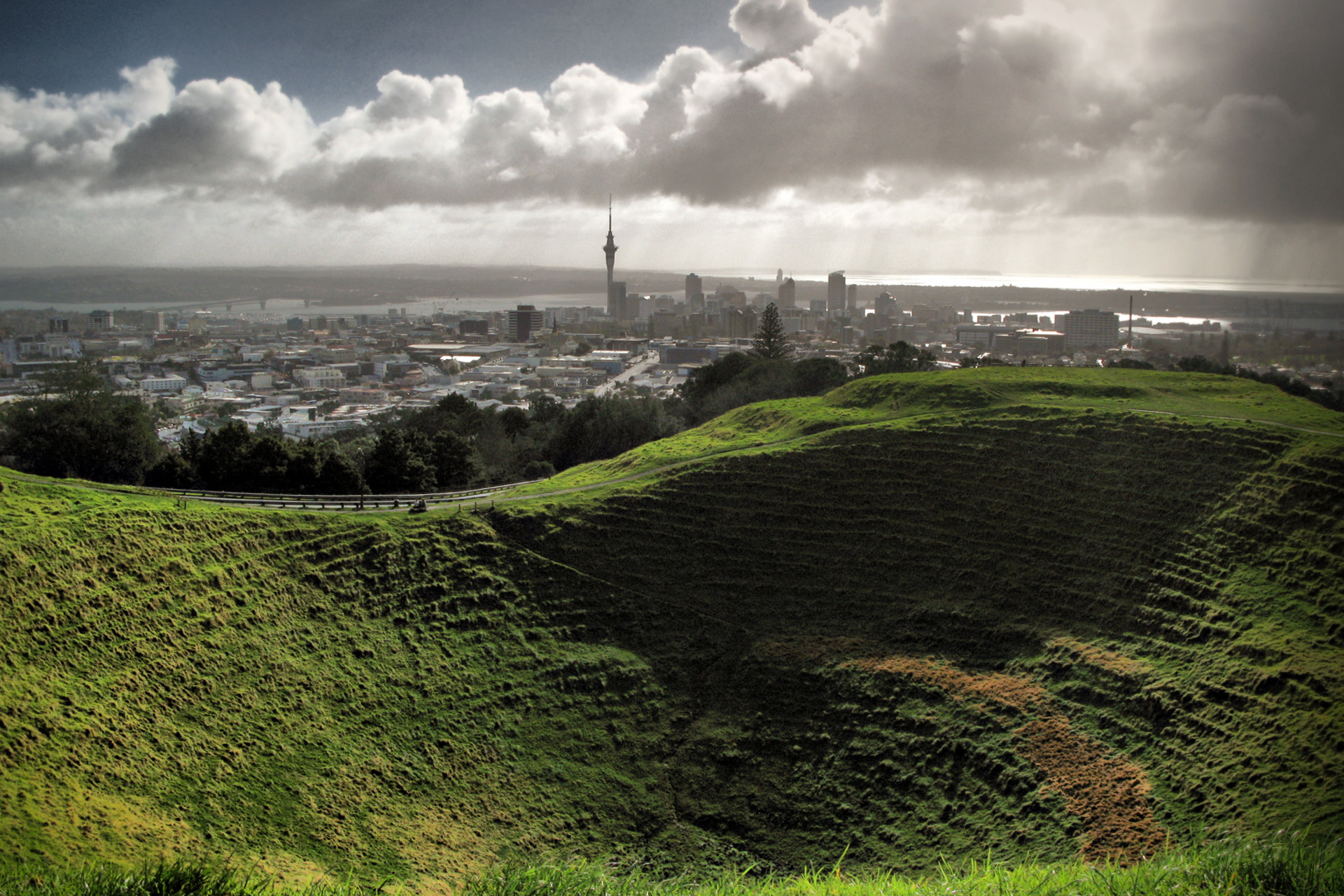
Wikimedia Commons · Maungawhau / Mount Eden

Crater rim, harbour view, city bowl.

Distance
4.4km
Elevation
+180m
Mindful tempo
5:45 /km
Elevation profileSmooth city pavement
+180m0.01.12.23.34.4
+180 m gainPeak 180 m · 4.4 km
Elevation profile: total gain 180 metres, peak 180 m above start, low 0 m.
Tempo engine · Ascending
5:34–6:22 /km

Trade cadence for breath on the climbs. Descend soft-footed, not fast.

Accessibility · Mixed terrain

Rolling gradients and mixed surfaces. Comfortable for off-road strollers and adaptive trail chairs; not suitable for standard wheelchairs.

Wheelchair Stroller Step-free
Along the way
  • WaterPublic fountain at each major square · cafés happy to refill
  • BenchesBenches at every square and along the waterfront
  • ToiletsPublic toilets at start/end · park pavilion mid-way
  • ShadePartial tree shade · carry a cap for high sun
  • Rest pointsCafé terraces and square benches — plenty of civilised places to stop
Why this route restores

Because earned altitude changes the perspective the body carries home. Small climb, big return.

Snapped to real footpaths · Garmin · Strava · AllTrails · Komoot · Coros · Wahoo · Apple Watch · outdooractive
Tāmaki Drive Coast — Coastal road, flat
Dawn·Coastal road, flat

Tāmaki Drive Coast

5.1 km+20 m5:10 /km
Step-free
Wikimedia Commons · Tamaki Drive

Rangitoto island framing the horizon.

Distance
5.1km
Elevation
+20m
Mindful tempo
5:10 /km
Elevation profileBoardwalk with sections of compacted sand
+20m0.01.32.53.85.1
+20 m gainPeak 20 m · 5.1 km
Elevation profile: total gain 20 metres, peak 20 m above start, low 0 m.
Tempo engine · Flowing
Nasal breath
4:56–5:28 /km

Ride the line. If effort spikes, ease back into the rhythm — don't push through.

Accessibility · Step-free

No stairs, no stiles. Continuous smooth surface, curb cuts throughout, gentle gradients under 3%.

Wheelchair Stroller Step-free
Along the way
  • WaterPublic fountain at each major square · cafés happy to refill
  • BenchesBenches at every square and along the waterfront
  • ToiletsPublic toilets at start/end · park pavilion mid-way
  • ShadePartial tree shade · carry a cap for high sun
  • Rest pointsCafé terraces and square benches — plenty of civilised places to stop
Why this route restores

Because moving beside water borrows its willingness — the current does part of the settling for you.

Snapped to real footpaths · Garmin · Strava · AllTrails · Komoot · Coros · Wahoo · Apple Watch · outdooractive
Xymove Composer

Compose a soul-tuned loop

Give it a starting point and a feeling. Xymove reads the land, the light and the soul character — and answers with one composed loop, not a list.

Time of day
Soul emphasis · (2/4)
2 of 4 chosen

One composed loop — real footpaths, park lanes and quiet corridors only. Never a list.

All Cities
One shared standard · Four tempos

The PureSoul family moves with the same heart. Choose the tempo the day is asking for.

Visit the PureSoul Family hub

Shared maps · shared GPX engine · shared Soul Signature language. Whichever door you enter, the craft standard is the same.