All Cities
USA·North America·GMT-5 · New England light

Boston

River, red bricks, running as tradition.

Boston is a runner's town in its bones — the Charles is the meeting place at every hour.

5soul-aware routes · walking & running
Charles River Loop — River, flat, classic
Dawn·River, flat, classic

Charles River Loop

10.5km+25 m5:10 /km
Step-free
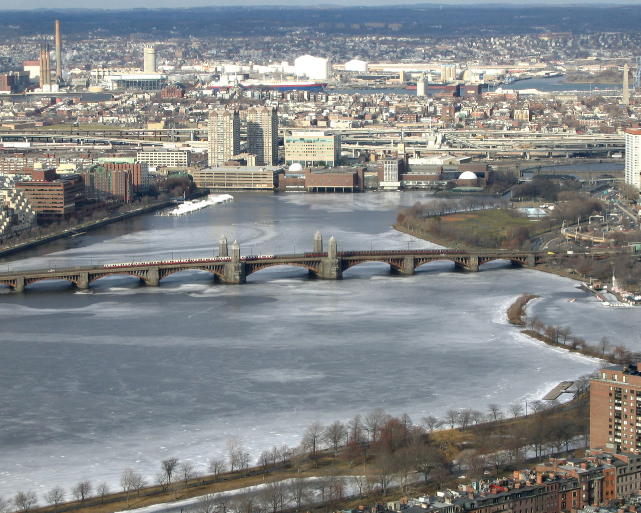
Wikimedia Commons · Charles River

Boston and Cambridge trading across the water.

Distance
10.5km
Elevation
+25m
Mindful tempo
5:10 /km
Elevation profilePaved towpath · compacted gravel
+25m0.02.65.37.910.5
+25m gainPeak25 m · 10.5km
Elevation profile: total gain25metres, peak25m above start, low0 m.
Tempo engine ·Flowing
4:51–5:24 /km

Ride the line. If effort spikes, ease back into the rhythm — don't push through.

Accessibility ·Step-free

No stairs, no stiles. Continuous smooth surface, curb cuts throughout, gentle gradients under 3%.

Wheelchair Stroller Step-free
Along the way
  • Water5–7 drinking fountains along the route · marked at each park gate
  • BenchesBenches every 200–400 m through the green sections
  • ToiletsPublic toilets at 2–3 points along the route · park pavilions and transit hubs
  • ShadeDappled tree shade through the park sections · open at water
  • Rest pointsLawns and lakeside benches every kilometre for a proper sit
Why this route restores

Because moving beside water borrows its willingness — the current does part of the settling for you.

Arnold Arboretum Recovery — Botanical park, rolling
Morning·Botanical park, rolling

Arnold Arboretum Recovery

7.4km+80 m5:40 /km
Mostly accessible
Wikimedia Commons · Arnold Arboretum

Every tree a specimen, every path a slow line.

Distance
7.4km
Elevation
+80m
Mindful tempo
5:40 /km
Elevation profilePaved & fine-gravel garden paths
+80m0.01.93.75.67.4
+80m gainPeak80 m · 7.4km
Elevation profile: total gain80metres, peak80m above start, low0 m.
Tempo engine ·Recovering
Nasal breath
5:37–6:15 /km

Nasal breath only. If you can't hold the nose, walk 20 steps and restart.

Accessibility ·Mostly accessible

Continuous paths with occasional short ramps or gentle slopes. Sturdy strollers and most wheelchairs manage well; a companion is a kindness on the two or three brief rises.

Wheelchair Stroller Step-free
Along the way
  • Water3–4 drinking fountains · at park gates and central lawns
  • BenchesBenches every 200–400 m through the green sections
  • ToiletsPublic toilets at start/end · park pavilion mid-way
  • ShadeDappled tree shade through the park sections · open at water
  • Rest pointsLawns and lakeside benches every kilometre for a proper sit
Why this route restores

Because green is the frequency the nervous system was tuned for. Every kilometre here is a small argument against the week you just had.

Boston Common – Public Garden – Commonwealth Mall — Historic parks, lagoon, tree-lined mall
Morning·Historic parks, lagoon, tree-lined mall

Boston Common – Public Garden – Commonwealth Mall

4.93km+35 mBreath-led
Access not surveyed
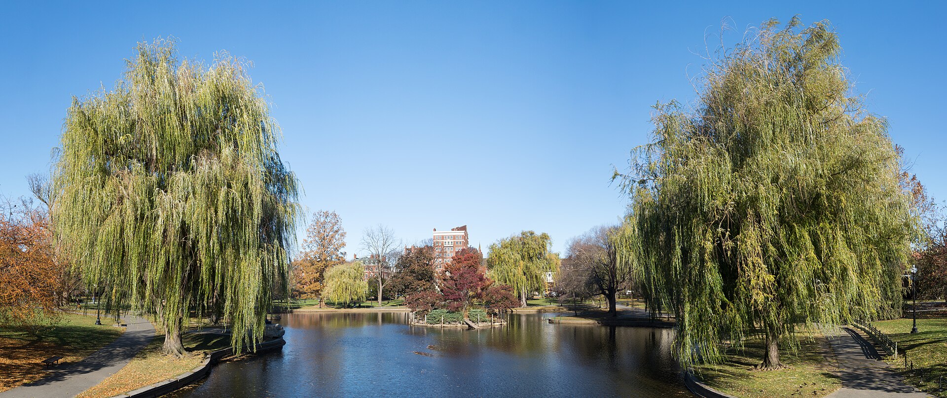
Boston Public Garden in November 2019 · Rhododendrites · CC BY-SA 4.0
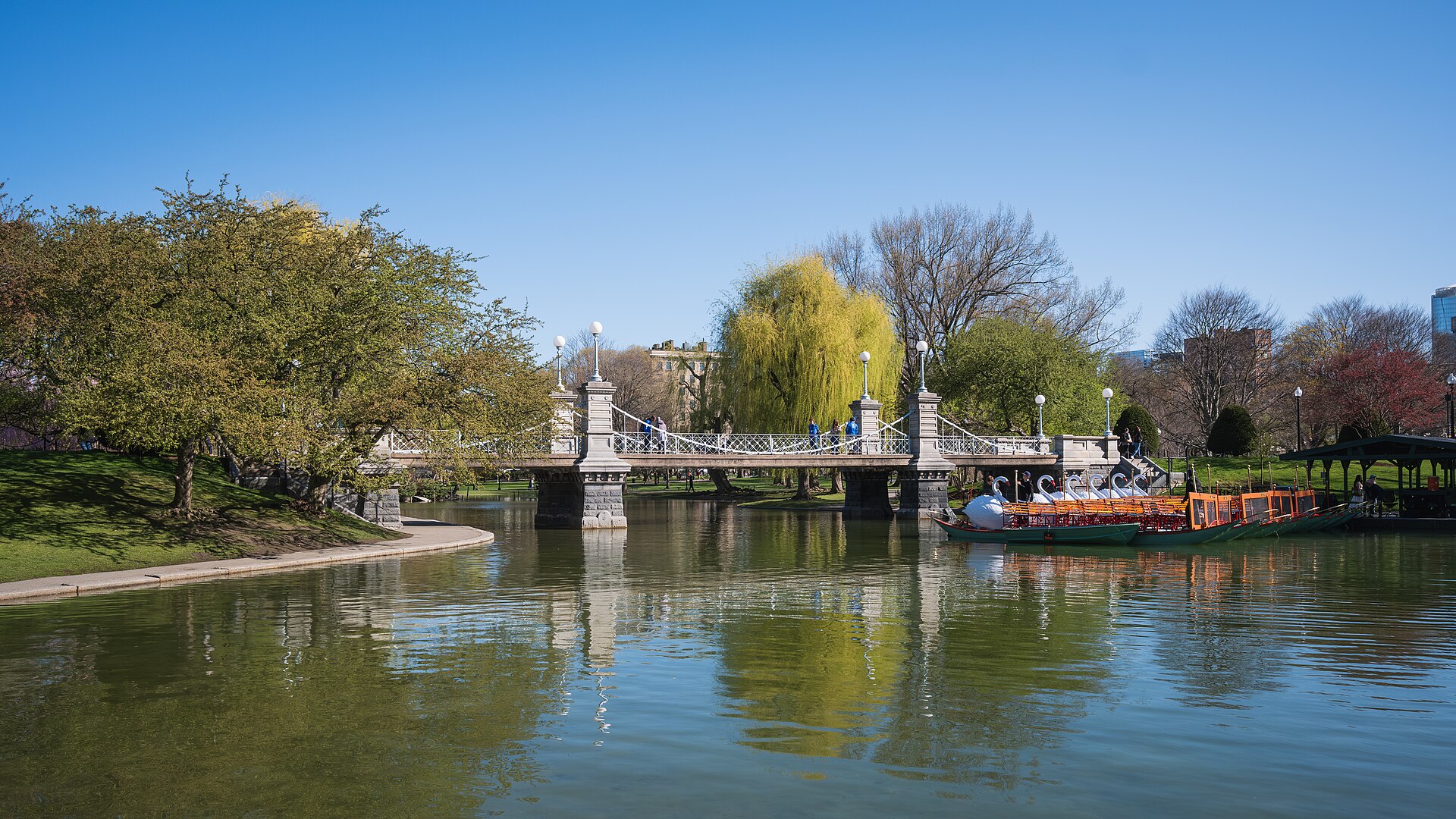
Lagoon bridge in the Boston Public Garden, Boston, Massachusetts · Christian David · CC BY-SA 4.0
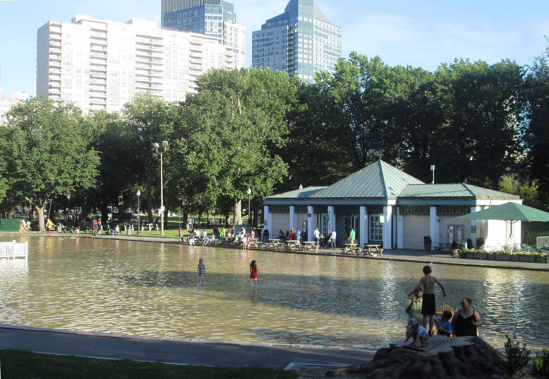
The Frog pond in Boston Common in August 2017. · Beyond My Ken · CC BY-SA 4.0
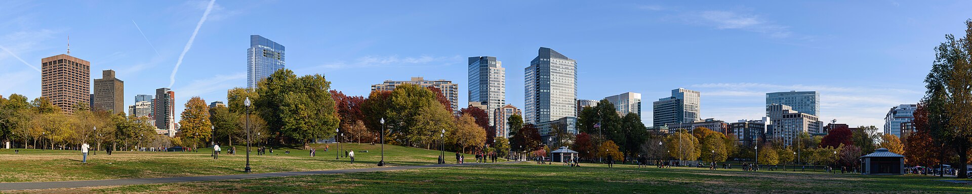
Four-segment panorama of Boston Common, Boston. · King of Hearts · CC BY-SA 4.0

A loop through America's oldest public park and the Public Garden lagoon, then out along the Commonwealth Avenue Mall to Massachusetts Avenue and back. Starts a few steps from Park Street station; the parks are linked by signalled crossings.

Start
Park Street station · Boston Common
End
Park Street station · Boston Common · return to the same point
Mindful-pace time
Let your breath choose the pace; pause at crossings.
Step-free rating
Step-free access not verified
Distance
4.93km
Elevation
+35m
Mindful tempo
Breath-led
Elevation profilePaved park paths and mall; signalled street crossings
+4m0.01.22.53.74.9
+16m gainPeak4 m · 4.93km
Elevation profile: total gain16metres, peak4m above start, low-12 m.
Tempo engine ·Steady
Nasal breath
5:21–5:55 /km

Move at the pace your breath still writes sentences in.

Accessibility ·Access not surveyed

Foot-routed public paths; steps, kerbs, crossings and temporary closures may occur. Wheelchair and cycle access have not been surveyed. Follow local signs.

Wheelchair Stroller Step-free
Along the way
  • WaterCarry water; fountain availability has not been checked.
  • BenchesPark and waterfront seating may be available; no fixed rest-point interval is promised.
  • ToiletsCheck current public toilet locations before setting out.
  • ShadeMixed tree cover and exposed sections.
  • Rest pointsPause clear of the running line, crossings and shared cycle paths.
Why this route restores

A loop through America's oldest public park and the Public Garden lagoon, then out along the Commonwealth Avenue Mall to Massachusetts Avenue and back. Starts a few steps from Park Street station; the parks are linked by signalled crossings.

Castle Island – Pleasure Bay – Carson Beach — Harbour, causeway, beach path
Morning·Harbour, causeway, beach path

Castle Island – Pleasure Bay – Carson Beach

7.35km+37 mBreath-led
Access not surveyed
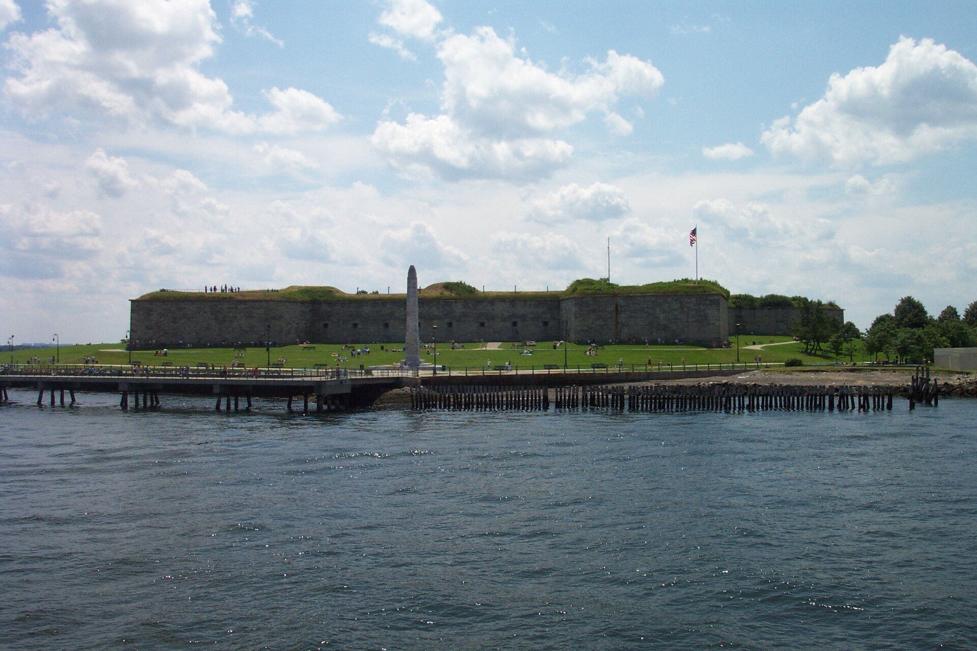
Fort Independence on Castle Island · Chris Wood (User:chris_j_wood). · CC BY-SA 4.0
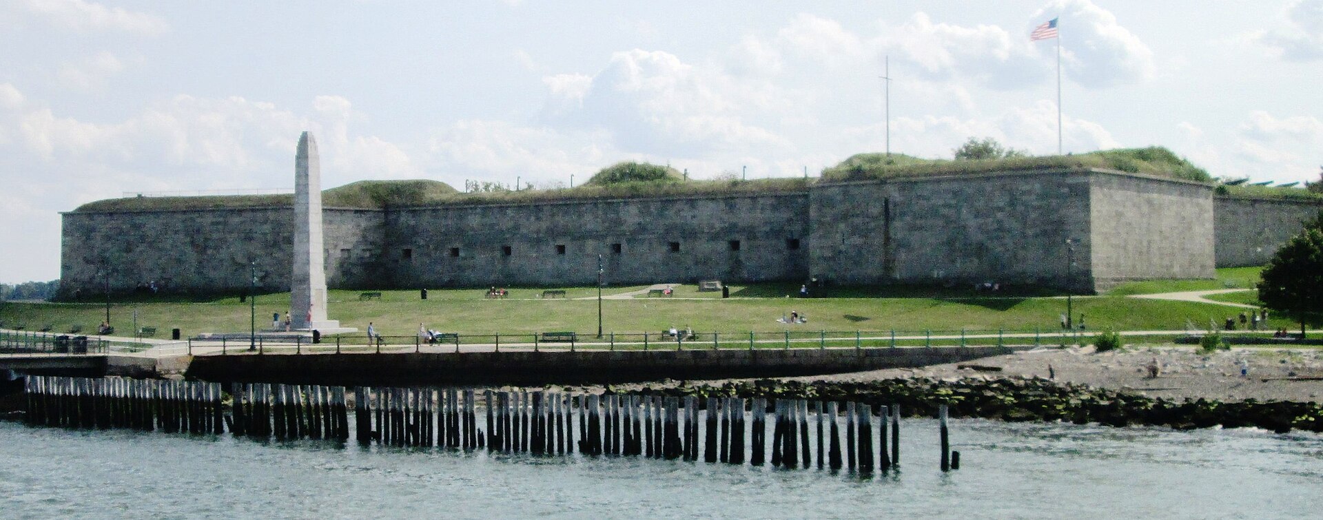
2017 Fort Independence, Castle Island from Boston Harbor 1 · Beyond My Ken · CC BY-SA 4.0
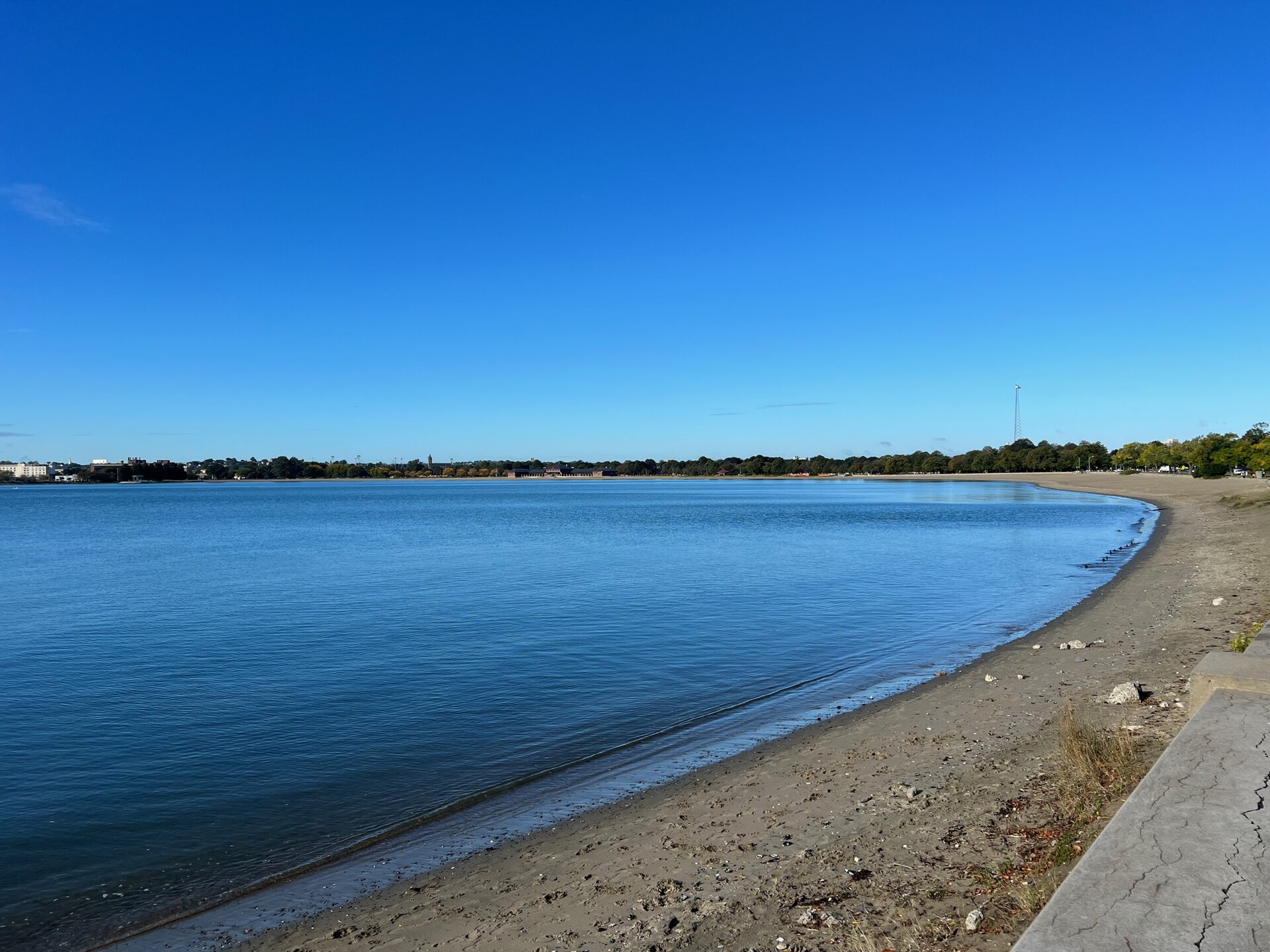
Carson beach in Boston · SamAu · CC BY-SA 4.0

Harbour air the whole way: around Fort Independence, along the Pleasure Bay shore, then the Day Boulevard beach path toward Carson Beach and back. Windy and exposed, with little shade.

Start
Castle Island · Fort Independence
End
Castle Island · Fort Independence · return to the same point
Mindful-pace time
Let your breath choose the pace; pause at crossings.
Step-free rating
Step-free access not verified
Distance
7.35km
Elevation
+37m
Mindful tempo
Breath-led
Elevation profilePaved harbour paths and causeway
+29m0.01.83.75.57.3
+33m gainPeak29 m · 7.35km
Elevation profile: total gain33metres, peak29m above start, low-4 m.
Tempo engine ·Recovering
Nasal breath
5:22–5:56 /km

Nasal breath only. If you can't hold the nose, walk 20 steps and restart.

Accessibility ·Access not surveyed

Foot-routed public paths; steps, kerbs, crossings and temporary closures may occur. Wheelchair and cycle access have not been surveyed. Follow local signs.

Wheelchair Stroller Step-free
Along the way
  • WaterCarry water; fountain availability has not been checked.
  • BenchesPark and waterfront seating may be available; no fixed rest-point interval is promised.
  • ToiletsCheck current public toilet locations before setting out.
  • ShadeMixed tree cover and exposed sections.
  • Rest pointsPause clear of the running line, crossings and shared cycle paths.
Why this route restores

Harbour air the whole way: around Fort Independence, along the Pleasure Bay shore, then the Day Boulevard beach path toward Carson Beach and back. Windy and exposed, with little shade.

Emerald Necklace to Jamaica Pond — Olmsted park chain, ponds, river paths
Morning·Olmsted park chain, ponds, river paths

Emerald Necklace to Jamaica Pond

18.56km+110 mBreath-led
Access not surveyed
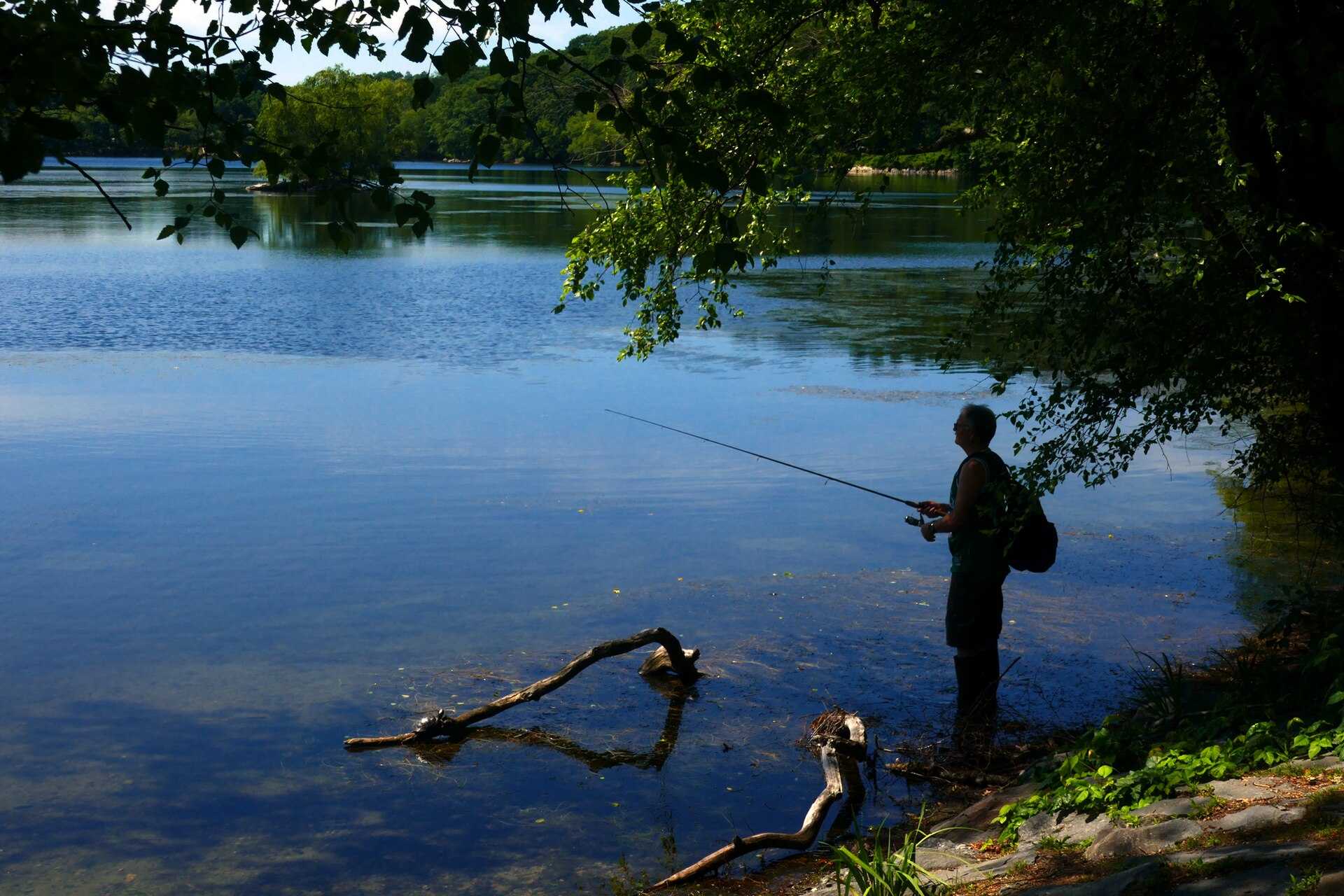
Fishing in Jamaica Pond in Boston · NewtonCourt · CC BY-SA 4.0
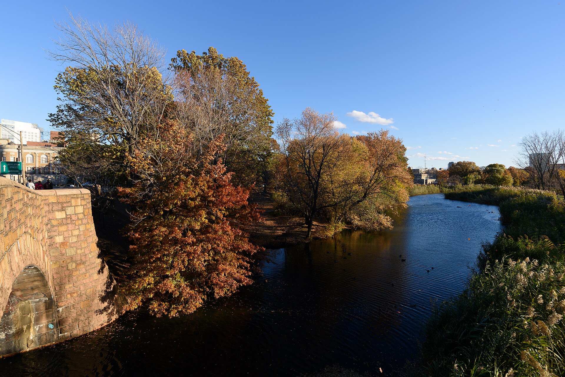
View from Boylston Street bridge, Back Bay Fens, Boston. · King of Hearts · CC BY-SA 4.0
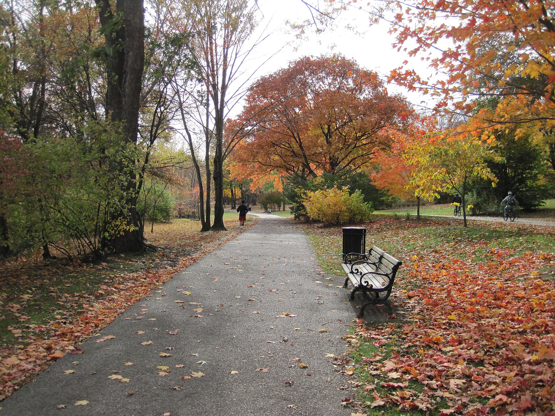
Walking path in Olmsted Park in Boston's "Emerald Necklace" · NewtonCourt · CC BY-SA 4.0
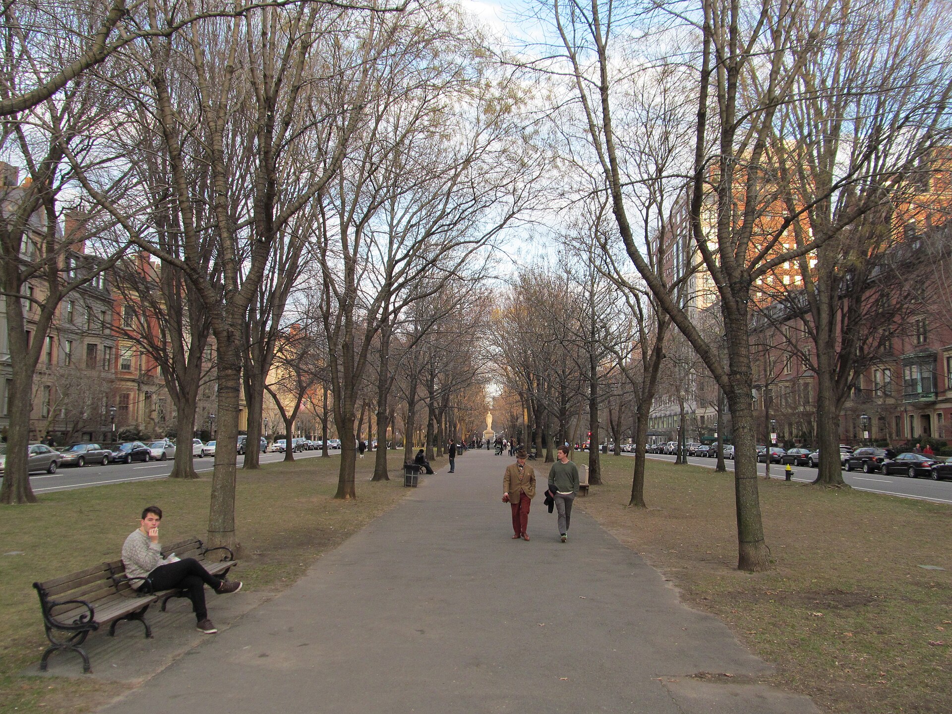
Commonwealth Avenue Mall, Boston Massachusetts · John Phelan · CC BY 4.0

Olmsted's park chain run out and back: Commonwealth Avenue Mall, the Back Bay Fens, the Riverway and Olmsted Park to a lap of Jamaica Pond. Several road crossings, and some stretches run beside the parkway roads.

Start
Boston Public Garden · Arlington Street
End
Boston Public Garden · Arlington Street · return to the same point
Mindful-pace time
Let your breath choose the pace; pause at crossings.
Step-free rating
Step-free access not verified
Distance
18.56km
Elevation
+110m
Mindful tempo
Breath-led
Elevation profilePaved malls and park paths; several road crossings
+44m0.04.69.313.918.6
+45m gainPeak44 m · 18.56km
Elevation profile: total gain45metres, peak44m above start, low-1 m.
Tempo engine ·Steady
5:21–6:02 /km

Move at the pace your breath still writes sentences in.

Accessibility ·Access not surveyed

Foot-routed public paths; steps, kerbs, crossings and temporary closures may occur. Wheelchair and cycle access have not been surveyed. Follow local signs.

Wheelchair Stroller Step-free
Along the way
  • WaterCarry water; fountain availability has not been checked.
  • BenchesPark and waterfront seating may be available; no fixed rest-point interval is promised.
  • ToiletsCheck current public toilet locations before setting out.
  • ShadeMixed tree cover and exposed sections.
  • Rest pointsPause clear of the running line, crossings and shared cycle paths.
Why this route restores

Olmsted's park chain run out and back: Commonwealth Avenue Mall, the Back Bay Fens, the Riverway and Olmsted Park to a lap of Jamaica Pond. Several road crossings, and some stretches run beside the parkway roads.

Xymove Composer

Compose a soul-tuned loop

Give it a starting point and a feeling. Xymove reads the land, the light and the soul character — and answers with one composed loop, not a list.

Time of day
Soul emphasis · (2/4)
2 of 4 chosen

One composed loop — real footpaths, park lanes and quiet corridors only. Never a list.

All Cities
One shared standard · Four tempos

The PureSoul family moves with the same heart.Choose the tempo the day is asking for.

Visit the PureSoul Family hub

Shared maps · shared GPX engine · shared Soul Signature language. Whichever door you enter, the craft standard is the same.