All Cities
Portugal·Europe·GMT · Atlantic light

Lisbon

Tile glare, caravel light, seven hills.

Lisbon rewards a runner with view after view — climb once, catch the estuary, coast home along the water.

3 soul-aware routes · walking & running
Tagus Belém Line — Riverfront, flat
Golden hour·Riverfront, flat

Tagus Belém Line

8.8 km+45 m5:18 /km
Mostly accessible
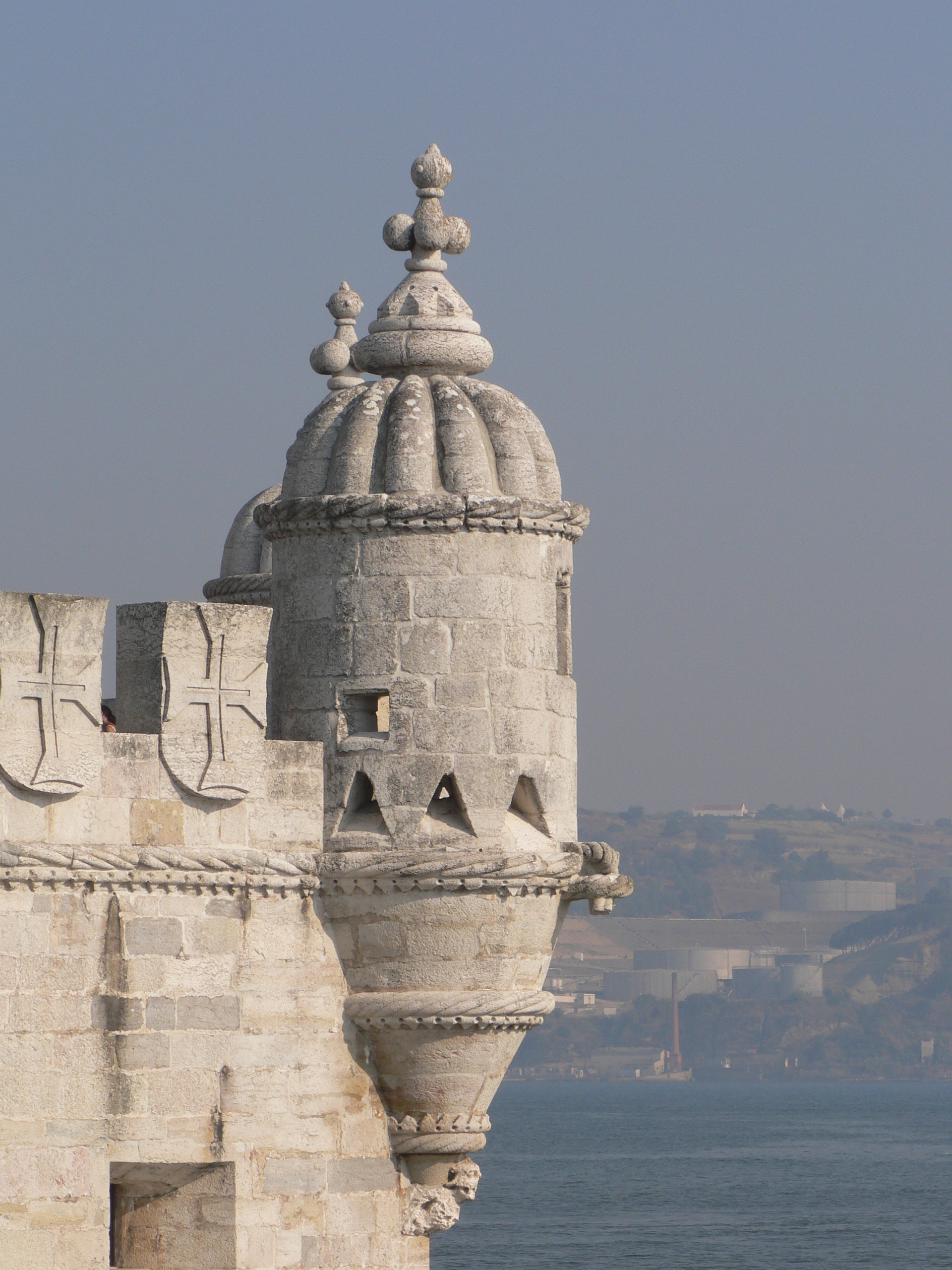
Wikimedia Commons · Belém Tower

Tile glare, caravel light, an estuary opening wide.

Distance
8.8km
Elevation
+45m
Mindful tempo
5:18 /km
Elevation profilePaved towpath · compacted gravel
+45m0.02.24.46.68.8
+45 m gainPeak 45 m · 8.8 km
Elevation profile: total gain 45 metres, peak 45 m above start, low 0 m.
Tempo engine · Steady
4:59–5:34 /km

Move at the pace your breath still writes sentences in.

Accessibility · Mostly accessible

Continuous paths with occasional short ramps or gentle slopes. Sturdy strollers and most wheelchairs manage well; a companion is a kindness on the two or three brief rises.

Wheelchair Stroller Step-free
Along the way
  • Water3–4 drinking fountains · at park gates and central lawns
  • BenchesBenches every 200–400 m through the green sections
  • ToiletsPublic toilets at start/end · park pavilion mid-way
  • ShadeDappled tree shade through the park sections · open at water
  • Rest pointsLawns and lakeside benches every kilometre for a proper sit
Why this route restores

Because moving beside water borrows its willingness — the current does part of the settling for you.

Snapped to real footpaths · Garmin · Strava · AllTrails · Komoot · Coros · Wahoo · Apple Watch · outdooractive
Monsanto Forest Line — Urban forest, hilly
Morning·Urban forest, hilly

Monsanto Forest Line

10.5 km+320 m5:45 /km
Trail-only
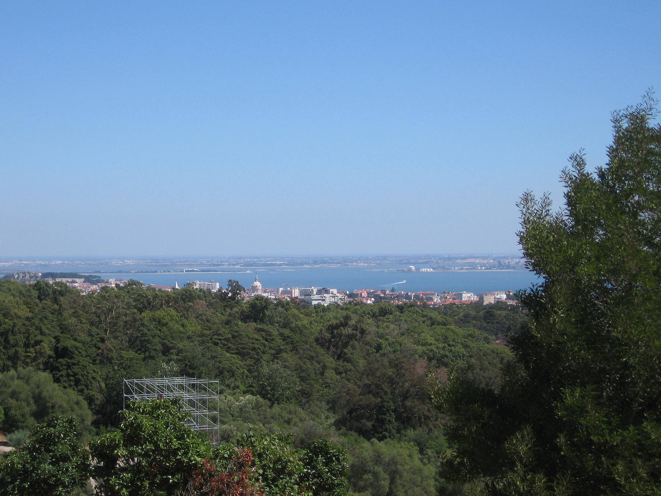
Wikimedia Commons · Monsanto Forest Park

Pine soft-track above the city, big views earned.

Distance
10.5km
Elevation
+320m
Mindful tempo
5:45 /km
Elevation profileSoft forest track · packed earth
+320m0.02.65.37.910.5
+320 m gainPeak 320 m · 10.5 km
Elevation profile: total gain 320 metres, peak 320 m above start, low 0 m.
Tempo engine · Ascending
5:35–6:37 /km

Trade cadence for breath on the climbs. Descend soft-footed, not fast.

Accessibility · Trail-only

Genuine trail — roots, elevation, occasional narrow sections. Walk this with sturdy footwear; not a wheelchair or stroller route.

Wheelchair Stroller Step-free
Along the way
  • WaterCarry your own water — one or two springs off-line but no reliable fountains
  • BenchesLog benches at overlooks and trail junctions
  • ToiletsPublic toilets at 2–3 points along the route · park pavilions and transit hubs
  • ShadeDeep tree cover for most of the line
  • Rest pointsOverlook rocks and grass clearings at 2–3 km intervals
Why this route restores

Because green is the frequency the nervous system was tuned for. Every kilometre here is a small argument against the week you just had.

Snapped to real footpaths · Garmin · Strava · AllTrails · Komoot · Coros · Wahoo · Apple Watch · outdooractive
Alfama Heritage Line — Old city, steep cobbles
First light·Old city, steep cobbles

Alfama Heritage Line

4.8 km+180 m5:55 /km
Mixed terrain
Wikimedia Commons · Alfama

Miradouros, tram rails, azulejos still asleep.

Distance
4.8km
Elevation
+180m
Mindful tempo
5:55 /km
Elevation profileCobblestone with smooth-pavement inlays
+180m0.01.22.43.64.8
+180 m gainPeak 180 m · 4.8 km
Elevation profile: total gain 180 metres, peak 180 m above start, low 0 m.
Tempo engine · Ascending
5:44–6:32 /km

Trade cadence for breath on the climbs. Descend soft-footed, not fast.

Accessibility · Mixed terrain

Rolling gradients and mixed surfaces. Comfortable for off-road strollers and adaptive trail chairs; not suitable for standard wheelchairs.

Wheelchair Stroller Step-free
Along the way
  • WaterPublic fountain at each major square · cafés happy to refill
  • BenchesBenches at every square and along the waterfront
  • ToiletsPublic toilets at start/end · park pavilion mid-way
  • ShadePartial tree shade · carry a cap for high sun
  • Rest pointsCafé terraces and square benches — plenty of civilised places to stop
Why this route restores

Because old stone teaches long time. When the streets around you have breathed for centuries, your breath lengthens to match.

Snapped to real footpaths · Garmin · Strava · AllTrails · Komoot · Coros · Wahoo · Apple Watch · outdooractive
Xymove Composer

Compose a soul-tuned loop

Give it a starting point and a feeling. Xymove reads the land, the light and the soul character — and answers with one composed loop, not a list.

Time of day
Soul emphasis · (2/4)
2 of 4 chosen

One composed loop — real footpaths, park lanes and quiet corridors only. Never a list.

All Cities
One shared standard · Four tempos

The PureSoul family moves with the same heart. Choose the tempo the day is asking for.

Visit the PureSoul Family hub

Shared maps · shared GPX engine · shared Soul Signature language. Whichever door you enter, the craft standard is the same.