All Cities
Australia·Oceania·GMT+11 · four seasons a day

Melbourne

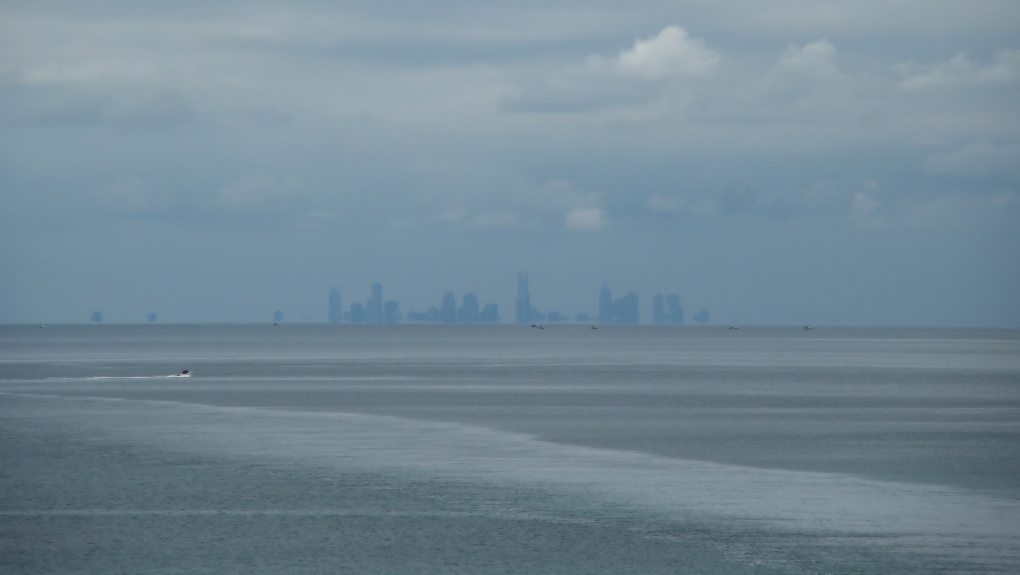
River rowers, laneway silence, southern light.

Melbourne runs early — the Tan is a city ritual, the Yarra a long green line.

3 soul-aware routes · walking & running
Yarra River Line — River trail, flat
Dawn·River trail, flat

Yarra River Line

9.4 km+40 m5:22 /km
Mixed terrain
Wikimedia Commons · Yarra River

Rowers cutting mist. A city breathing slow.

Distance
9.4km
Elevation
+40m
Mindful tempo
5:22 /km
Elevation profileMixed trail · fire road · packed dirt
+40m0.02.44.77.19.4
+40 m gainPeak 40 m · 9.4 km
Elevation profile: total gain 40 metres, peak 40 m above start, low 0 m.
Tempo engine · Flowing
5:08–5:42 /km

Ride the line. If effort spikes, ease back into the rhythm — don't push through.

Accessibility · Mixed terrain

Rolling gradients and mixed surfaces. Comfortable for off-road strollers and adaptive trail chairs; not suitable for standard wheelchairs.

Wheelchair Stroller Step-free
Along the way
  • Water3–4 drinking fountains · at park gates and central lawns
  • BenchesBenches every 200–400 m through the green sections
  • ToiletsPublic toilets at start/end · park pavilion mid-way
  • ShadeDappled tree shade through the park sections · open at water
  • Rest pointsLawns and lakeside benches every kilometre for a proper sit
Why this route restores

Because uninterrupted rhythm is medicine — the body remembers how to move when nothing keeps stopping it.

Snapped to real footpaths · Garmin · Strava · AllTrails · Komoot · Coros · Wahoo · Apple Watch · outdooractive
The Tan Loop — Iconic city loop
First light·Iconic city loop

The Tan Loop

3.8 km+30 m5:10 /km
Step-free
Wikimedia Commons · Tan Track

The city's oldest running ritual.

Distance
3.8km
Elevation
+30m
Mindful tempo
5:10 /km
Elevation profileSmooth city pavement
+30m0.00.91.92.83.8
+30 m gainPeak 30 m · 3.8 km
Elevation profile: total gain 30 metres, peak 30 m above start, low 0 m.
Tempo engine · Flowing
Nasal breath
4:56–5:29 /km

Ride the line. If effort spikes, ease back into the rhythm — don't push through.

Accessibility · Step-free

No stairs, no stiles. Continuous smooth surface, curb cuts throughout, gentle gradients under 3%.

Wheelchair Stroller Step-free
Along the way
  • WaterPublic fountain at each major square · cafés happy to refill
  • BenchesBenches at every square and along the waterfront
  • ToiletsPublic toilets at start/end · park pavilion mid-way
  • ShadePartial tree shade · carry a cap for high sun
  • Rest pointsCafé terraces and square benches — plenty of civilised places to stop
Why this route restores

Because uninterrupted rhythm is medicine — the body remembers how to move when nothing keeps stopping it.

Snapped to real footpaths · Garmin · Strava · AllTrails · Komoot · Coros · Wahoo · Apple Watch · outdooractive
Port Phillip Bay Line — Coastal path, flat
Morning·Coastal path, flat

Port Phillip Bay Line

12 km+15 m5:15 /km
Step-free
Wikimedia Commons · Port Phillip

Palm-lined bay, ferries at St Kilda pier.

Distance
12km
Elevation
+15m
Mindful tempo
5:15 /km
Elevation profileBoardwalk with sections of compacted sand
+15m0.03.06.09.012.0
+15 m gainPeak 15 m · 12 km
Elevation profile: total gain 15 metres, peak 15 m above start, low 0 m.
Tempo engine · Flowing
4:59–5:31 /km

Ride the line. If effort spikes, ease back into the rhythm — don't push through.

Accessibility · Step-free

No stairs, no stiles. Continuous smooth surface, curb cuts throughout, gentle gradients under 3%. Long line — rest points every 2–3 km recommended for wheelchair users.

Wheelchair Stroller Step-free
Along the way
  • WaterCafé refill stops every 2–3 km · public fountains at squares
  • BenchesBenches at every square and along the waterfront
  • ToiletsPublic toilets at 2–3 points along the route · park pavilions and transit hubs
  • ShadePartial tree shade · carry a cap for high sun
  • Rest pointsCafé terraces and square benches — plenty of civilised places to stop
Why this route restores

Because moving beside water borrows its willingness — the current does part of the settling for you.

Snapped to real footpaths · Garmin · Strava · AllTrails · Komoot · Coros · Wahoo · Apple Watch · outdooractive
Xymove Composer

Compose a soul-tuned loop

Give it a starting point and a feeling. Xymove reads the land, the light and the soul character — and answers with one composed loop, not a list.

Time of day
Soul emphasis · (2/4)
2 of 4 chosen

One composed loop — real footpaths, park lanes and quiet corridors only. Never a list.

All Cities
One shared standard · Four tempos

The PureSoul family moves with the same heart. Choose the tempo the day is asking for.

Visit the PureSoul Family hub

Shared maps · shared GPX engine · shared Soul Signature language. Whichever door you enter, the craft standard is the same.