All Cities
Mexico·North America·GMT-6 · altitude thin light

Mexico City

High valley, volcanic breath.

Run softly here — 2,240 m thin the air, and the city rewards patience with pyramids and jacarandas.

4soul-aware routes · walking & running
Chapultepec Park Loop — Urban park, rolling
First light·Urban park, rolling

Chapultepec Park Loop

7km+90 m5:50 /km
Mostly accessible
Wikimedia Commons · Chapultepec

Ahuehuete cypresses, castle, altitude honest.

Distance
7km
Elevation
+90m
Mindful tempo
5:50 /km
Elevation profilePaved & fine-gravel garden paths
+90m0.01.83.55.37.0
+90m gainPeak90 m · 7km
Elevation profile: total gain90metres, peak90m above start, low0 m.
Tempo engine ·Contemplative
Nasal breath
5:45–6:24 /km

Let the shoulders drop every kilometre. Speed is not the point — presence is.

Accessibility ·Mostly accessible

Continuous paths with occasional short ramps or gentle slopes. Sturdy strollers and most wheelchairs manage well; a companion is a kindness on the two or three brief rises.

Wheelchair Stroller Step-free
Along the way
  • Water3–4 drinking fountains · at park gates and central lawns
  • BenchesBenches every 200–400 m through the green sections
  • ToiletsPublic toilets at start/end · park pavilion mid-way
  • ShadeDappled tree shade through the park sections · open at water
  • Rest pointsLawns and lakeside benches every kilometre for a proper sit
Why this route restores

Because green is the frequency the nervous system was tuned for. Every kilometre here is a small argument against the week you just had.

Reforma Heritage Line — Boulevard, gently rolling
Dawn·Boulevard, gently rolling

Reforma Heritage Line

10km+60 m5:30 /km
Mostly accessible
Wikimedia Commons · Torre Reforma

Angel of Independence, jacaranda avenues.

Distance
10km
Elevation
+60m
Mindful tempo
5:30 /km
Elevation profileSmooth city pavement
+60m0.02.55.07.510.0
+60m gainPeak60 m · 10km
Elevation profile: total gain60metres, peak60m above start, low0 m.
Tempo engine ·Steady
5:14–5:50 /km

Move at the pace your breath still writes sentences in.

Accessibility ·Mostly accessible

Continuous paths with occasional short ramps or gentle slopes. Sturdy strollers and most wheelchairs manage well; a companion is a kindness on the two or three brief rises.

Wheelchair Stroller Step-free
Along the way
  • WaterCafé refill stops every 2–3 km · public fountains at squares
  • BenchesBenches at every square and along the waterfront
  • ToiletsPublic toilets at 2–3 points along the route · park pavilions and transit hubs
  • ShadeColonnade and narrow-street shade for the middle third
  • Rest pointsCafé terraces and square benches — plenty of civilised places to stop
Why this route restores

Because old stone teaches long time. When the streets around you have breathed for centuries, your breath lengthens to match.

Viveros de Coyoacán & Coyoacán Centro — Nursery park, earth track, colonial plaza
Morning·Nursery park, earth track, colonial plaza

Viveros de Coyoacán & Coyoacán Centro

7.31km+29 mBreath-led
Access not surveyed
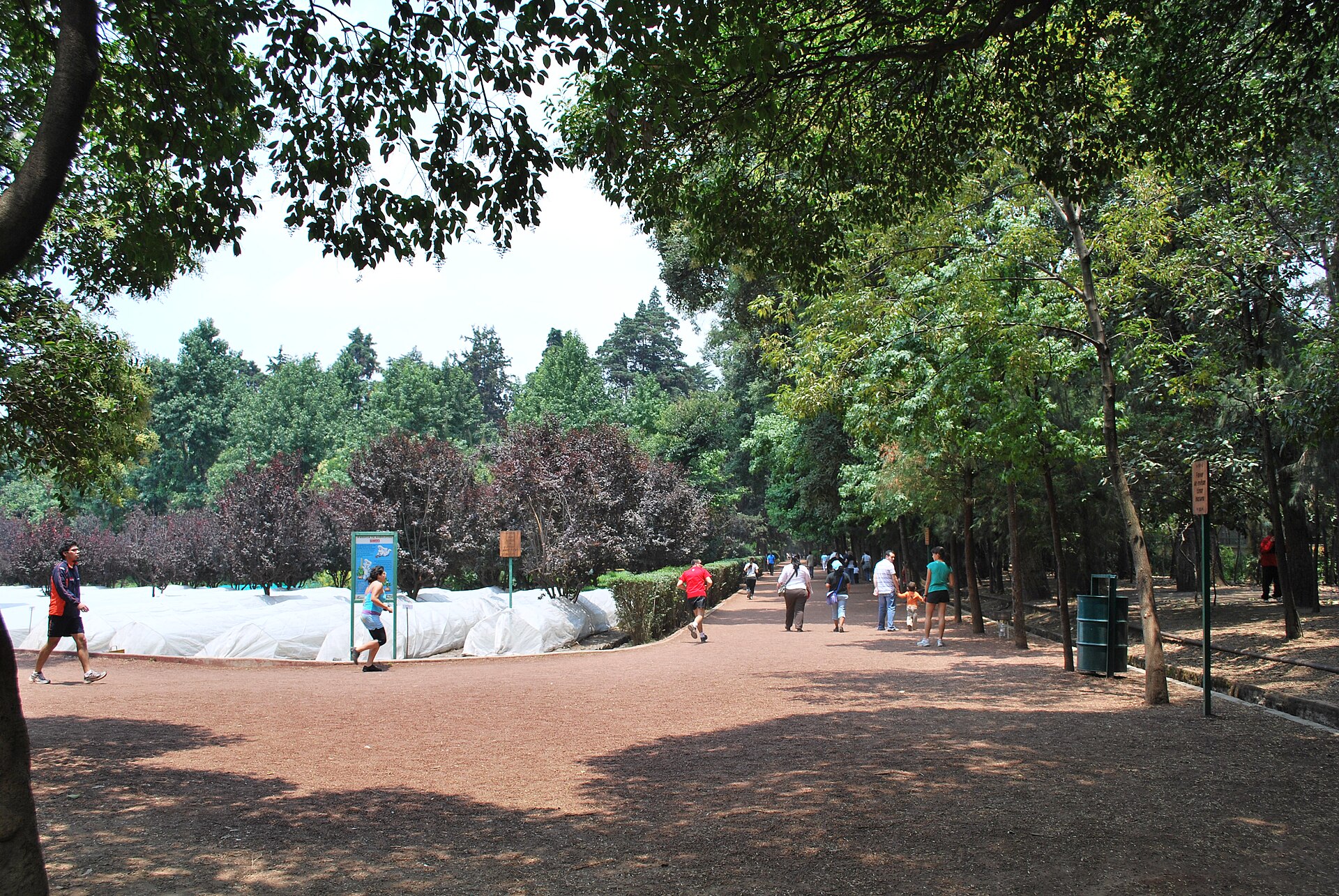
CirclePathViverosCoyoacanDF · Thelmadatter · CC BY-SA 3.0
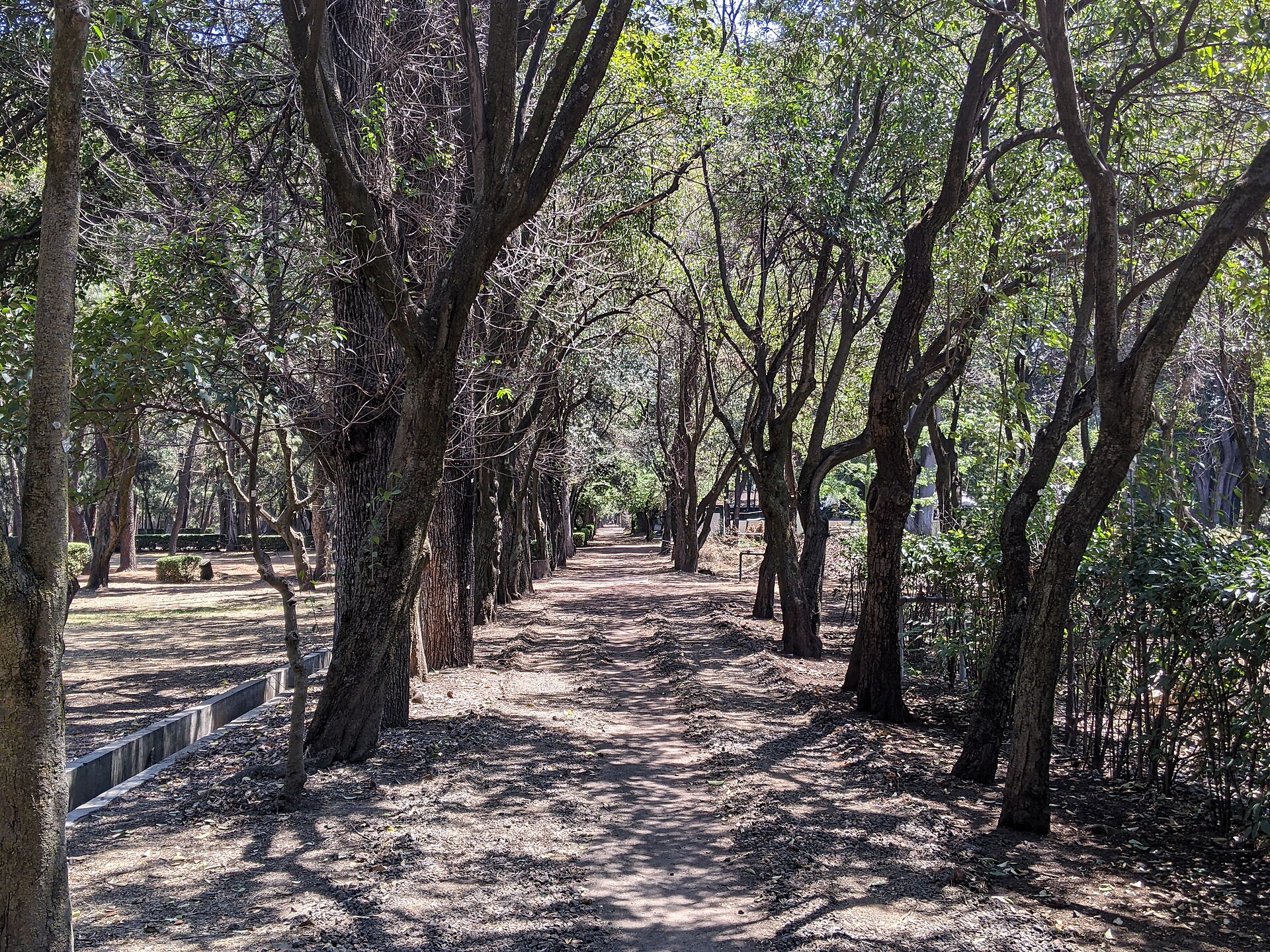
Way in Viveros de Coyoacán, Mexico City · Chivista · CC0
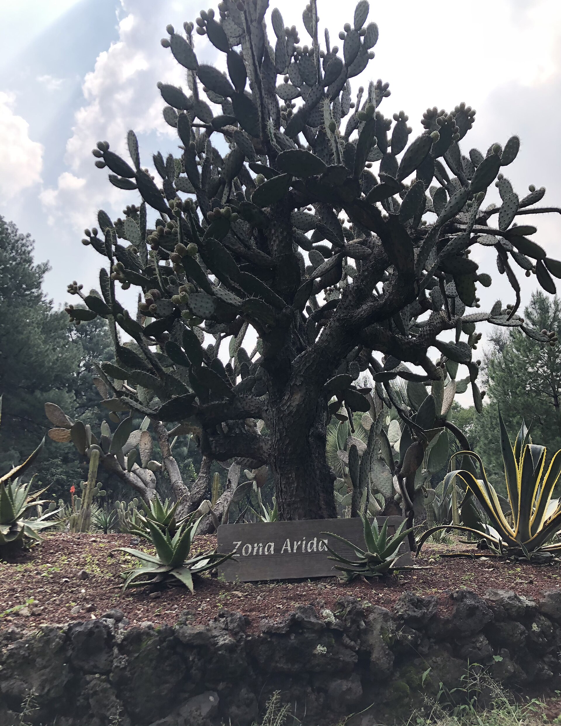
Zona Árida in Viveros de Coyoacán · Marianahdzm · CC BY-SA 4.0
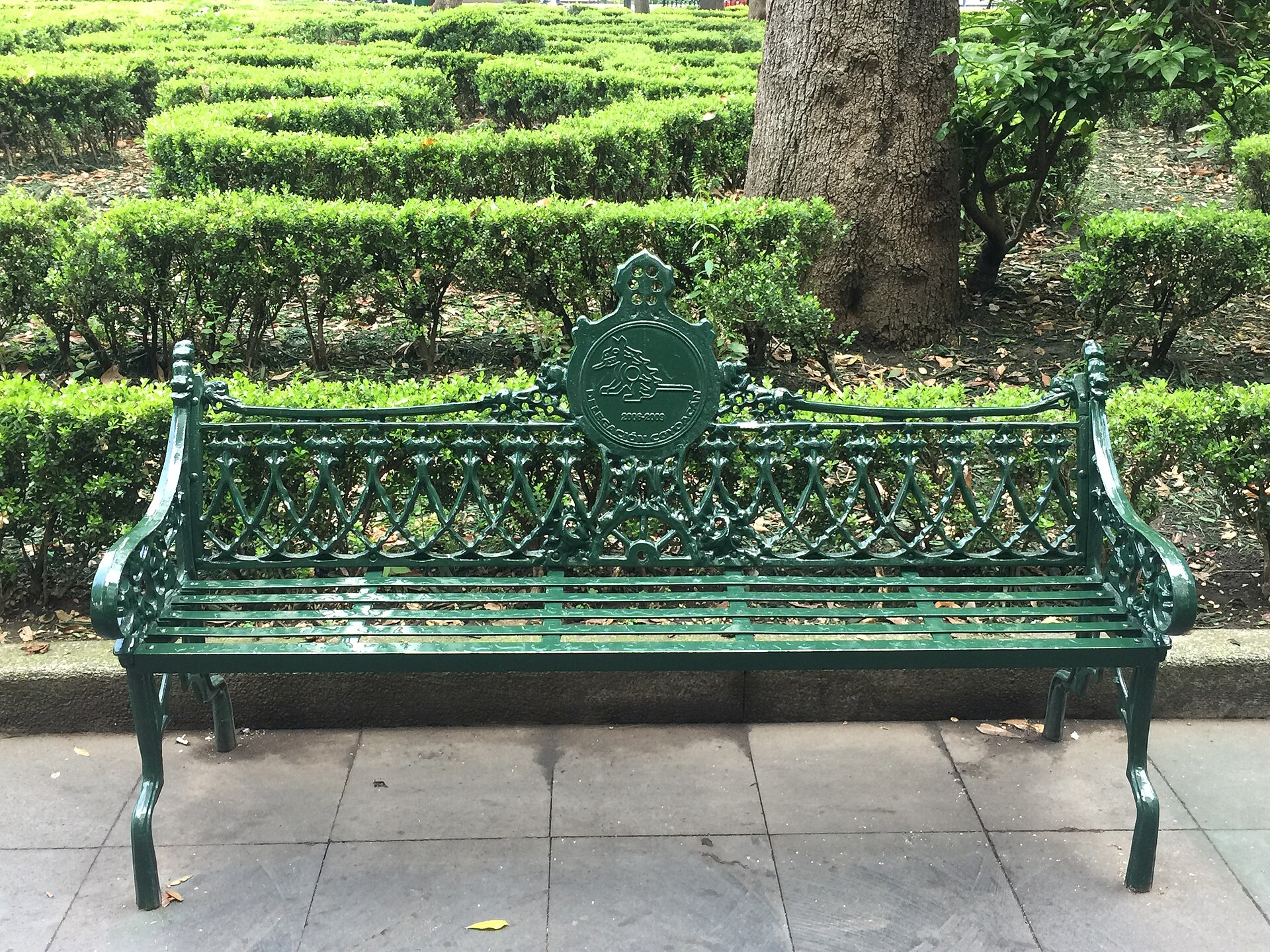
Traditional bench of the Plaza Centenario square in Coyoacán · Marianafloresocampo · CC BY-SA 4.0

A lap of the Viveros nursery park, popular with runners, then quiet streets to Coyoacán's Jardín Centenario and back. The park keeps fixed opening hours; altitude about 2,240 m.

Start
Viveros de Coyoacán · Avenida Universidad side
End
Viveros de Coyoacán · Avenida Universidad side · return to the same point
Mindful-pace time
Let your breath choose the pace; pause at crossings.
Step-free rating
Step-free access not verified
Distance
7.31km
Elevation
+29m
Mindful tempo
Breath-led
Elevation profilePacked-earth park track and quiet paved streets
+5m0.01.83.75.57.3
+15m gainPeak5 m · 7.31km
Elevation profile: total gain15metres, peak5m above start, low-10 m.
Tempo engine ·Steady
5:20–5:53 /km

Move at the pace your breath still writes sentences in.

Accessibility ·Access not surveyed

Foot-routed public paths; steps, kerbs, crossings and temporary closures may occur. Wheelchair and cycle access have not been surveyed. Follow local signs.

Wheelchair Stroller Step-free
Along the way
  • WaterCarry water; fountain availability has not been checked.
  • BenchesPark and waterfront seating may be available; no fixed rest-point interval is promised.
  • ToiletsCheck current public toilet locations before setting out.
  • ShadeMixed tree cover and exposed sections.
  • Rest pointsPause clear of the running line, crossings and shared cycle paths.
Why this route restores

A lap of the Viveros nursery park, popular with runners, then quiet streets to Coyoacán's Jardín Centenario and back. The park keeps fixed opening hours; altitude about 2,240 m.

Bosque de Chapultepec – First & Second Sections — Urban forest, lakes, castle hill
Morning·Urban forest, lakes, castle hill

Bosque de Chapultepec – First & Second Sections

9.51km+80 mBreath-led
Access not surveyed
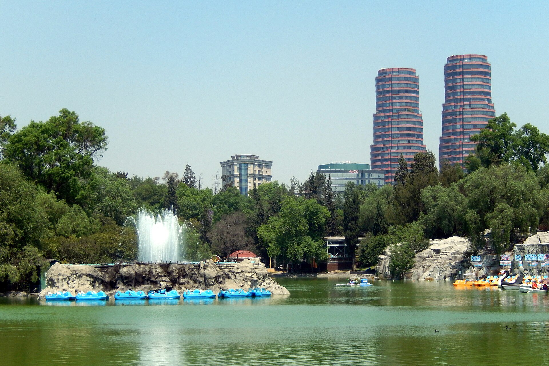
Lago en la Primera Sección del Bosque de Chapultepec · Bohao Zhao · CC BY 3.0
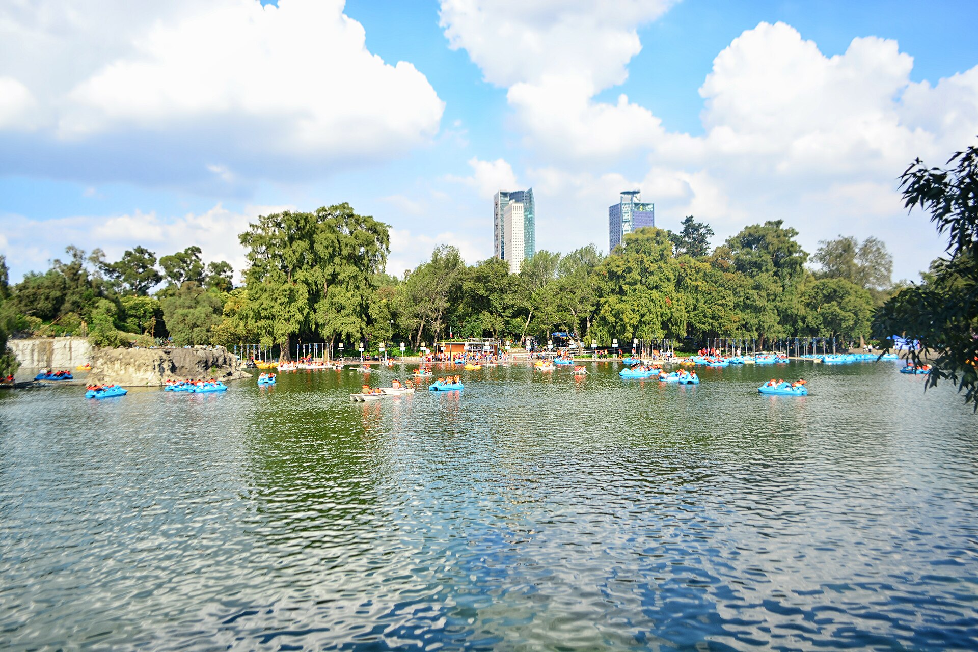
Lago Mayor de Chapultepec · ProtoplasmaKid · CC BY-SA 4.0
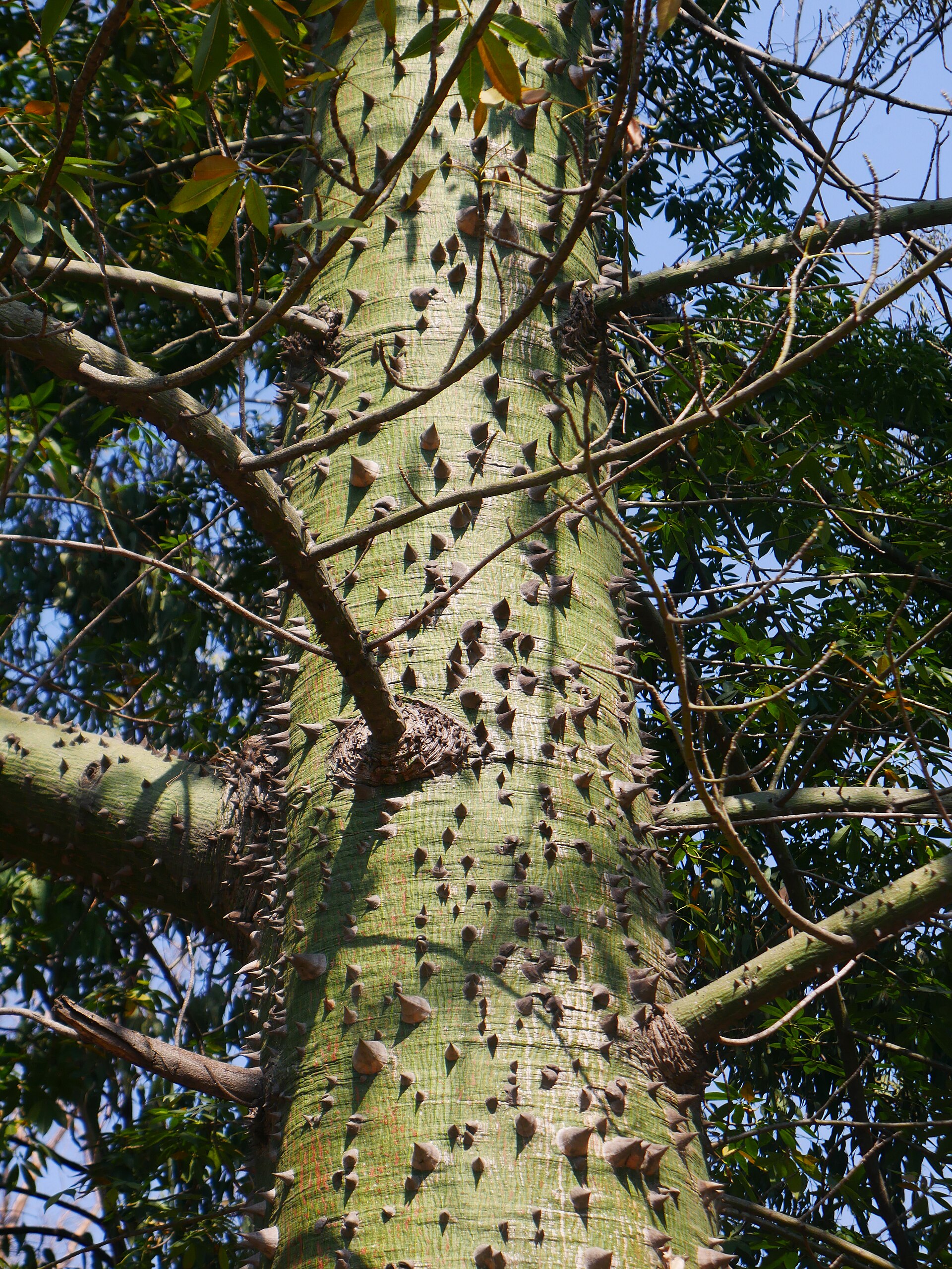
Ceiba en la segunda sección del Bosque de Chapultepec · Luisalvaz · CC BY-SA 4.0
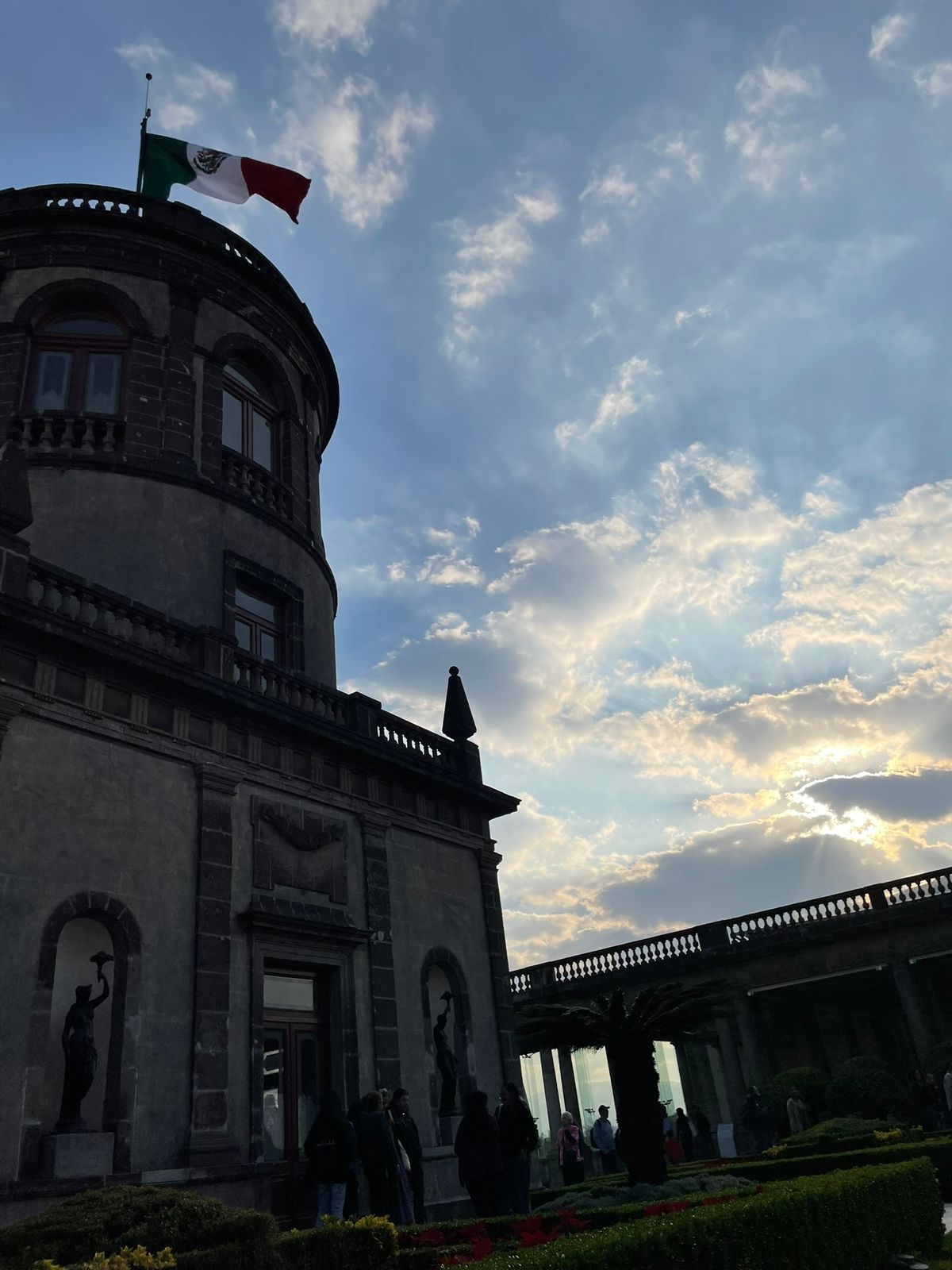
Segundo piso del Castillo de Chapultepec desde ángulo contrapicado. · Lasibris · CC BY 4.0

Through the first section past the lake and below the castle hill, then on into the second section's Lago Mayor and back. The first section is closed on Mondays; altitude about 2,240 m.

Start
Chapultepec metro · park entrance
End
Chapultepec metro · park entrance · return to the same point
Mindful-pace time
Let your breath choose the pace; pause at crossings.
Step-free rating
Step-free access not verified
Distance
9.51km
Elevation
+80m
Mindful tempo
Breath-led
Elevation profilePaved park paths; some road sections inside the park
+64m0.02.44.87.19.5
+67m gainPeak64 m · 9.51km
Elevation profile: total gain67metres, peak64m above start, low-3 m.
Tempo engine ·Steady
5:20–5:58 /km

Move at the pace your breath still writes sentences in.

Accessibility ·Access not surveyed

Foot-routed public paths; steps, kerbs, crossings and temporary closures may occur. Wheelchair and cycle access have not been surveyed. Follow local signs.

Wheelchair Stroller Step-free
Along the way
  • WaterCarry water; fountain availability has not been checked.
  • BenchesPark and waterfront seating may be available; no fixed rest-point interval is promised.
  • ToiletsCheck current public toilet locations before setting out.
  • ShadeMixed tree cover and exposed sections.
  • Rest pointsPause clear of the running line, crossings and shared cycle paths.
Why this route restores

Through the first section past the lake and below the castle hill, then on into the second section's Lago Mayor and back. The first section is closed on Mondays; altitude about 2,240 m.

Xymove Composer

Compose a soul-tuned loop

Give it a starting point and a feeling. Xymove reads the land, the light and the soul character — and answers with one composed loop, not a list.

Time of day
Soul emphasis · (2/4)
2 of 4 chosen

One composed loop — real footpaths, park lanes and quiet corridors only. Never a list.

All Cities
One shared standard · Four tempos

The PureSoul family moves with the same heart.Choose the tempo the day is asking for.

Visit the PureSoul Family hub

Shared maps · shared GPX engine · shared Soul Signature language. Whichever door you enter, the craft standard is the same.