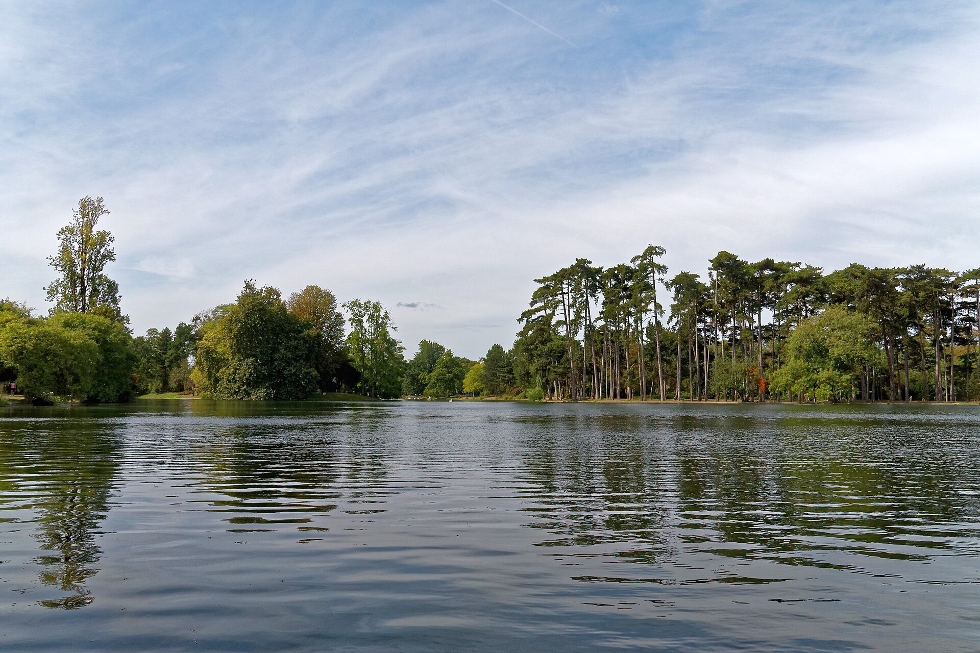
Bois de Boulogne Lakes Loop
- Distance
- 10.52km
- Elevation
- +—m
- Difficulty
- Easy
- Best season
- Apr — Oct
- Soul quality
- Nature8.9
- Lac Inférieur0.0km
- High point · +28 m2.8km
- 3Boulogne lakes loop5.3km
- Back to the start10.5km
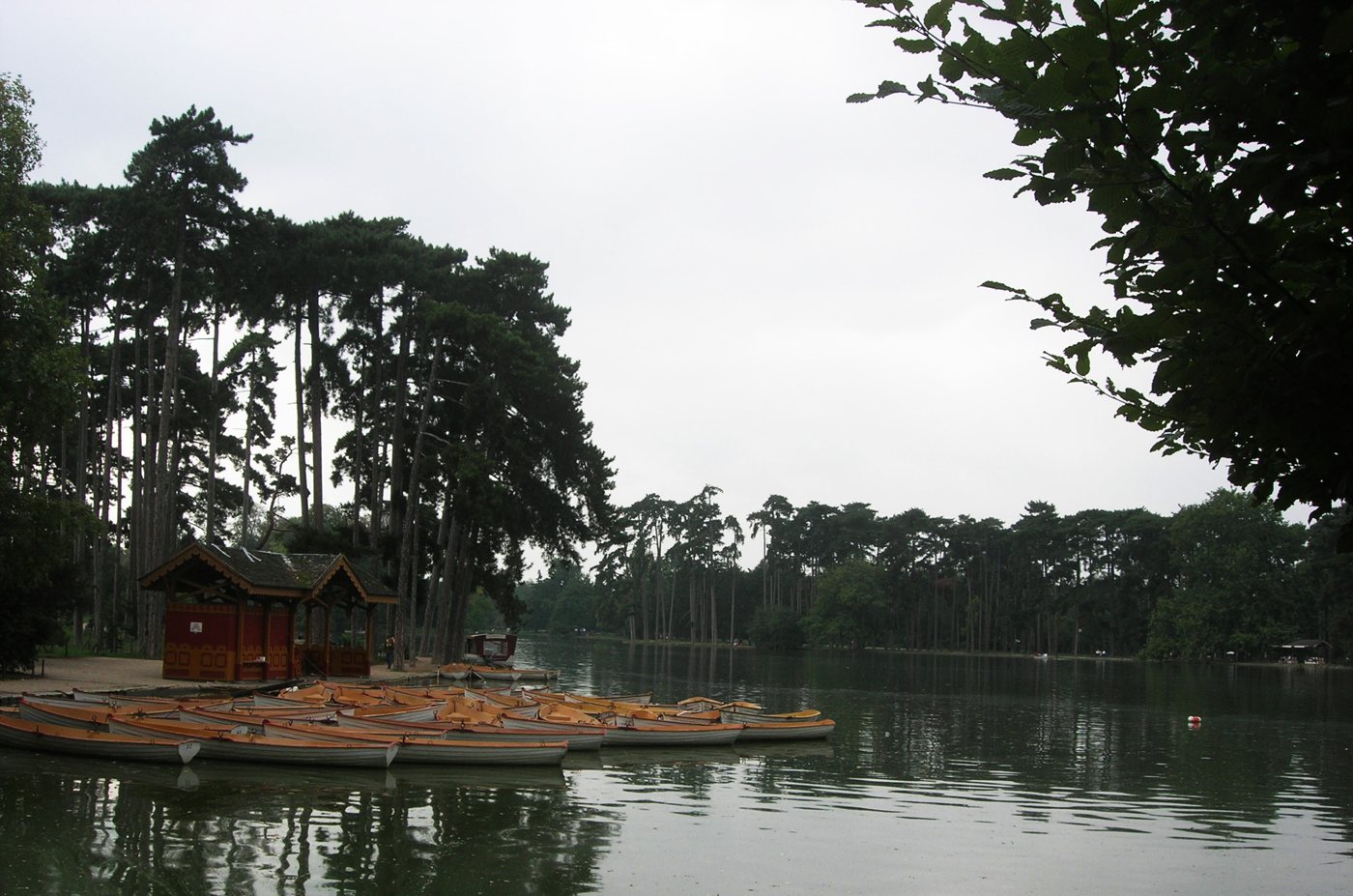
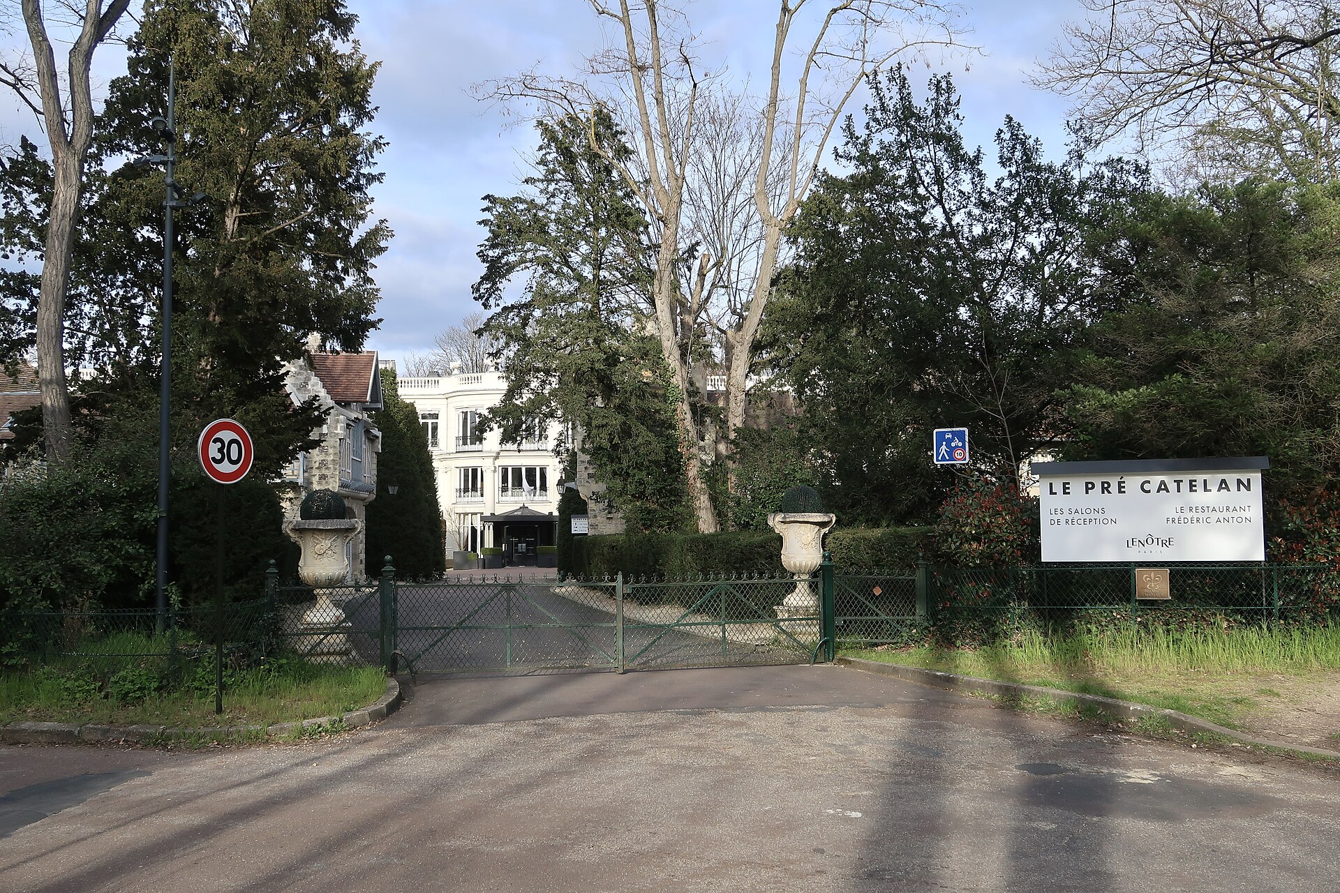
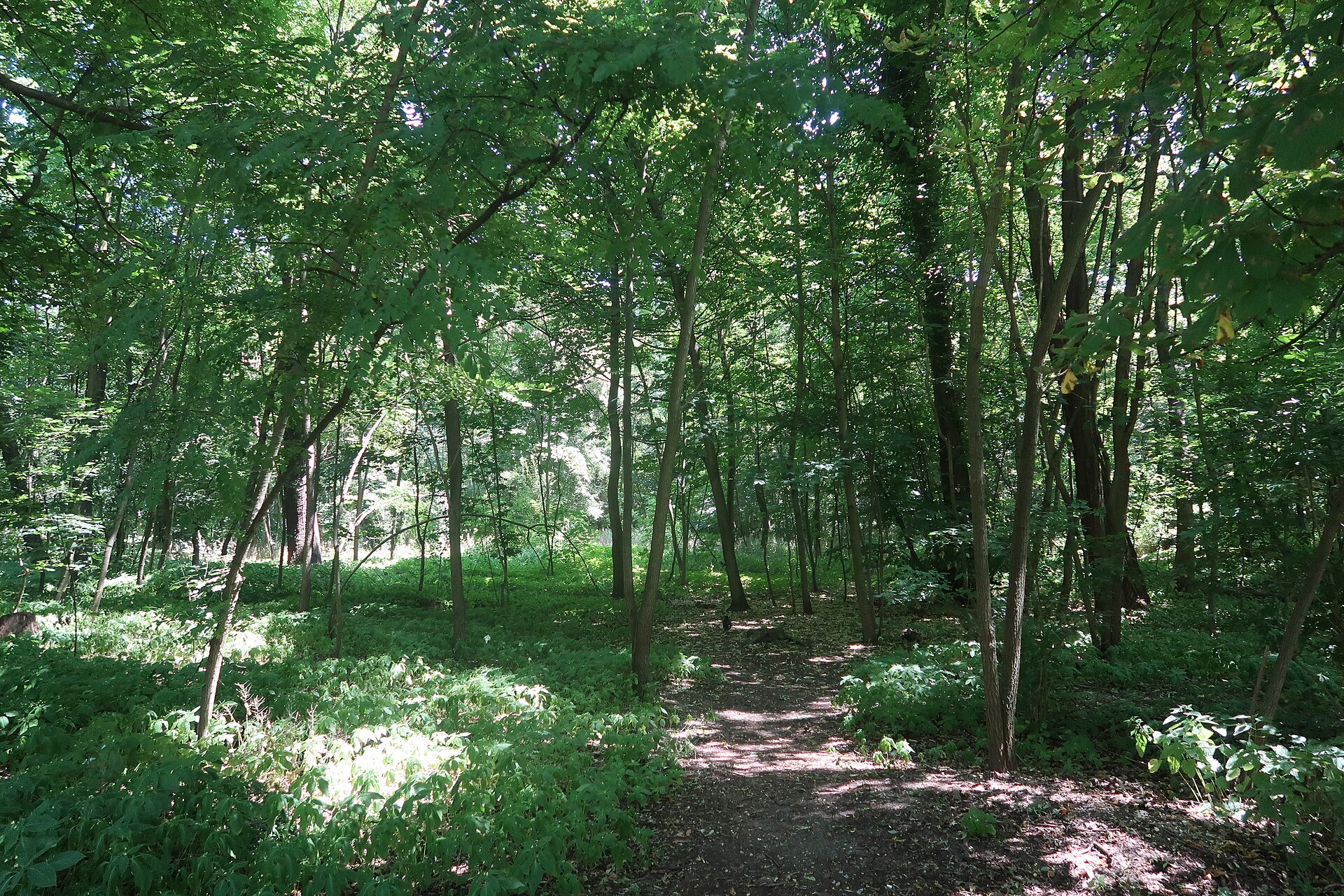
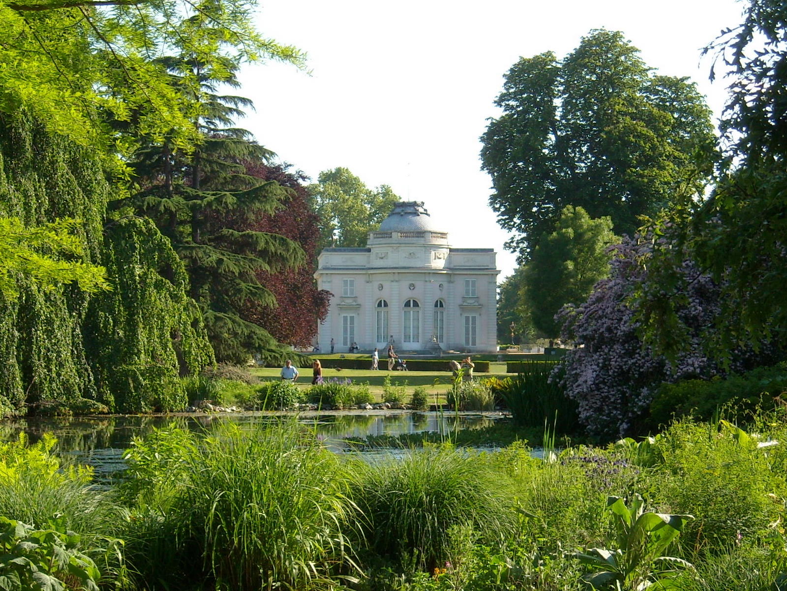
From the north shore of the Lac Inférieur, run the lakeside paths around the Lac Inférieur and Lac Supérieur, then return north through the woods past the Pré Catelan and the edge of Bagatelle. Reached from RER C Avenue Henri-Martin or metro Rue de la Pompe. The route passes outside Bagatelle’s paid garden; park roads carry traffic, so keep to the paths.
Let the shoulders drop every kilometre. Speed is not the point — presence is.
Foot-routed public paths; steps, kerbs, crossings and temporary closures may occur. Wheelchair and cycle access have not been surveyed. Follow local signs; garden paths may prohibit cycling.
- WaterCarry water; fountain availability has not been checked.
- BenchesGarden and riverside seating may be available; no fixed rest-point interval is promised.
- ToiletsCheck current public toilet locations before setting out.
- ShadeMixed tree cover and exposed paved sections.
- Rest pointsPause clear of the running line, crossings and shared cycle paths.
From the north shore of the Lac Inférieur, run the lakeside paths around the Lac Inférieur and Lac Supérieur, then return north through the woods past the Pré Catelan and the edge of Bagatelle. Reached from RER C Avenue Henri-Martin or metro Rue de la Pompe. The route passes outside Bagatelle’s paid garden; park roads carry traffic, so keep to the paths.