Santiago·First light·Urban peak, steady climb
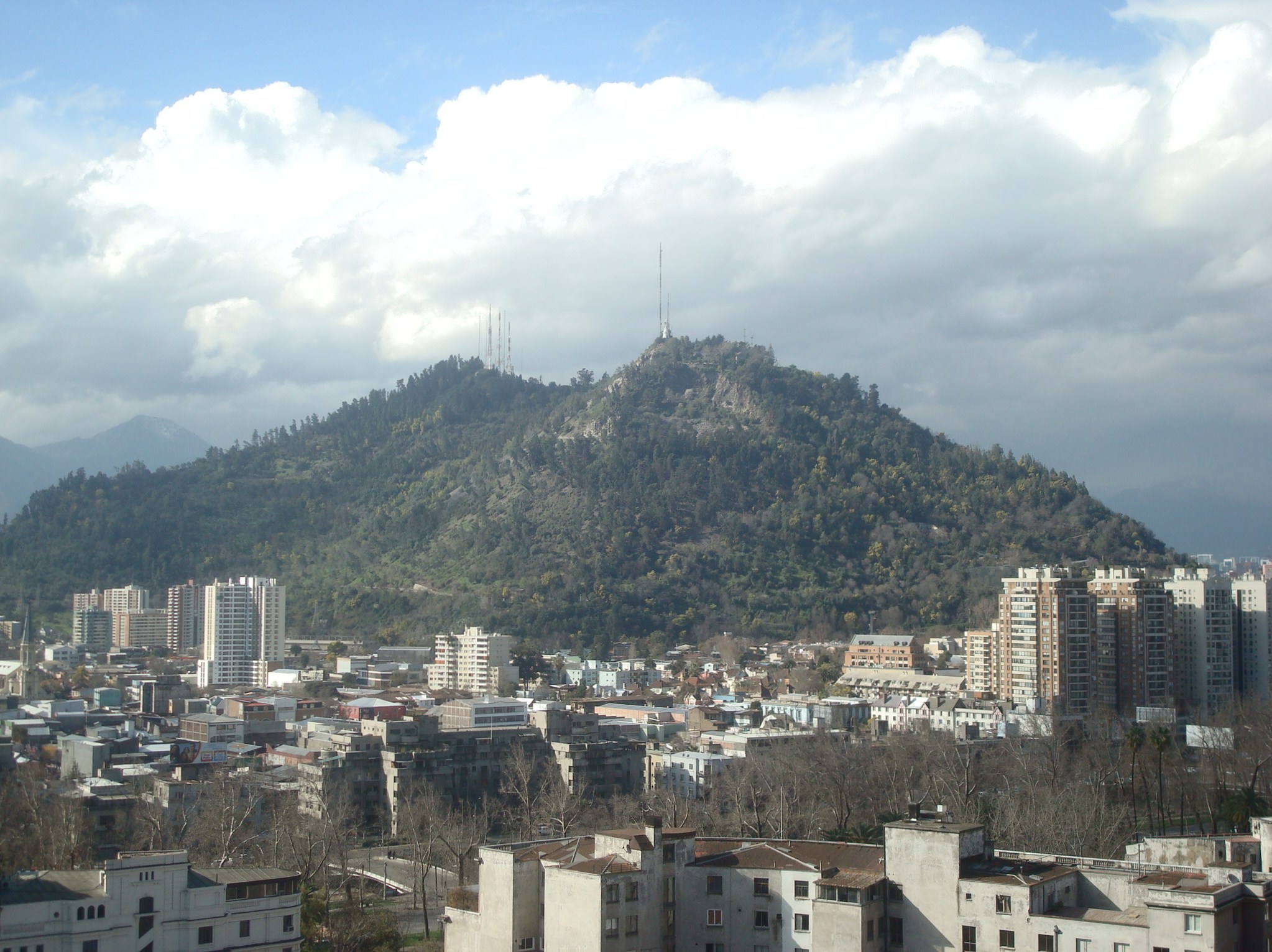
Cerro San Cristóbal
7.6 km+300 m5:45 /km
- Distance
- 7.6km
- Elevation
- +300m
- Difficulty
- Demanding
- Best season
- Apr — Oct
- Soul quality
- Ascent9.0
Smooth city pavement
IArrivalSantiago · First light
IIThe path7.6 km · Demanding
Xymove · rendering the line
Xymove Map
7.6 km loop
Live · pinch, drag, zoom-33.425, -70.632
Measuring the drawn line…
Elevation · +300 mOpen in OSM
+300 m gainPeak 300 m · 7.6 km
Elevation profile: total gain 300 metres, peak 300 m above start, low 0 m.Snapped to real footpaths · Garmin · Strava · Komoot · Coros · Apple Watch
IIIPresenceWhat this loop asks of you, and gives back.
Virgin at the top, whole city laid at your feet.
Tempo engine · Ascending
5:32–6:32 /km
Trade cadence for breath on the climbs. Descend soft-footed, not fast.
Genuine trail — roots, elevation, occasional narrow sections. Walk this with sturdy footwear; not a wheelchair or stroller route.
Wheelchair Stroller Step-free
- WaterPublic fountain at each major square · cafés happy to refill
- BenchesBenches at every square and along the waterfront
- ToiletsPublic toilets at start/end · park pavilion mid-way
- ShadePartial tree shade · carry a cap for high sun
- Rest pointsCafé terraces and square benches — plenty of civilised places to stop
Because earned altitude changes the perspective the body carries home. Small climb, big return.