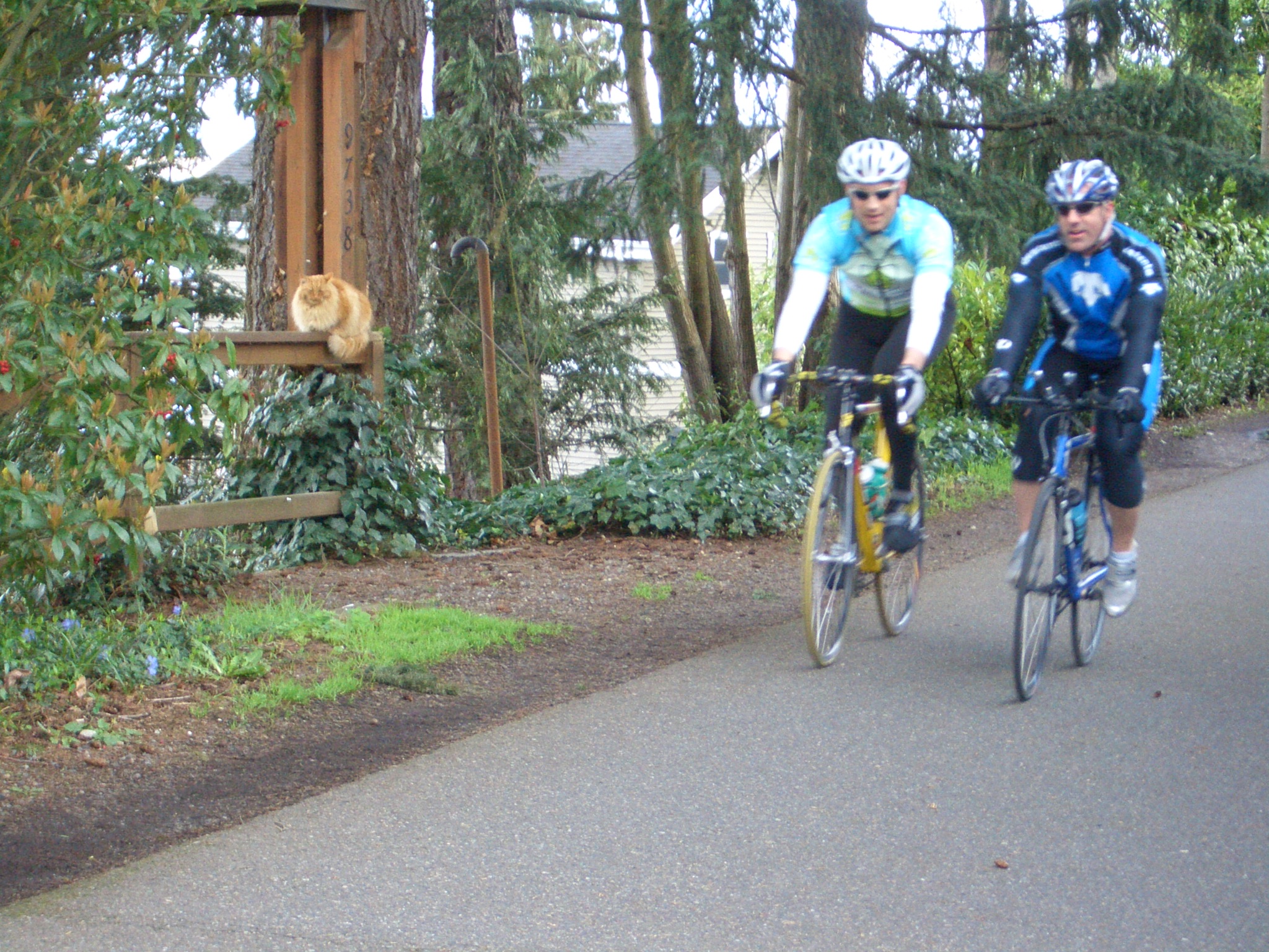
Seattle·Dawn·Rail-trail, flat
Burke-Gilman Trail
15 km+40 m5:00 /km
- Distance
- 15km
- Elevation
- +40m
- Difficulty
- Easy
- Best season
- Apr — Oct
- Soul quality
- Flow9.2
Mixed trail · fire road · packed dirt
IArrivalSeattle · Dawn
IIThe path15 km · Easy
Xymove · rendering the line
Xymove Map
15 km loop
Live · pinch, drag, zoom47.660, -122.320
Measuring the drawn line…
Elevation · +40 mOpen in OSM
+40 m gainPeak 40 m · 15 km
Elevation profile: total gain 40 metres, peak 40 m above start, low 0 m.Snapped to real footpaths · Garmin · Strava · Komoot · Coros · Apple Watch

IIIPresenceWhat this loop asks of you, and gives back.
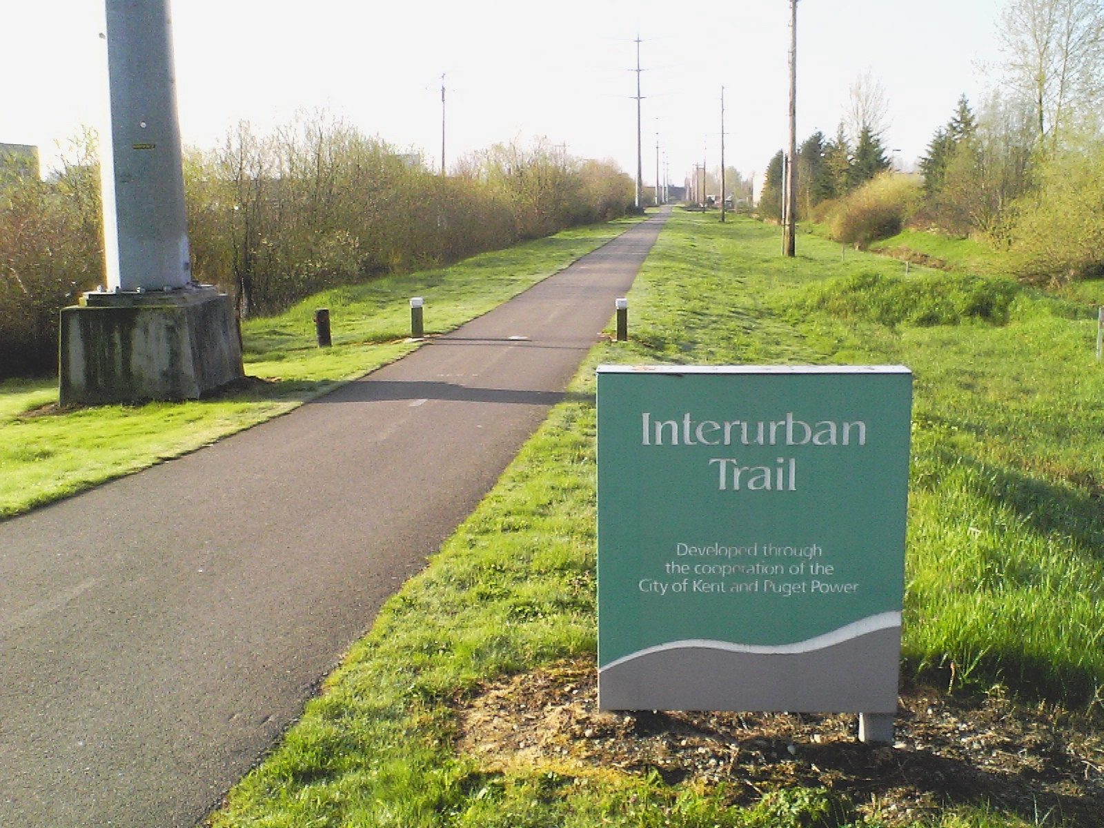
Rail line to water line — a straight quiet line through the city.
Tempo engine · Flowing
4:44–5:18 /km
Ride the line. If effort spikes, ease back into the rhythm — don't push through.
Rolling gradients and mixed surfaces. Comfortable for off-road strollers and adaptive trail chairs; not suitable for standard wheelchairs. Long line — rest points every 2–3 km recommended for wheelchair users.
Wheelchair Stroller Step-free
- WaterCafé refill stops every 2–3 km · public fountains at squares
- BenchesBenches at every square and along the waterfront
- ToiletsPublic toilets at 2–3 points along the route · park pavilions and transit hubs
- ShadePartial tree shade · carry a cap for high sun
- Rest pointsCafé terraces and square benches — plenty of civilised places to stop
Because uninterrupted rhythm is medicine — the body remembers how to move when nothing keeps stopping it.