All Cities
Canada·North America·GMT-8 · Pacific soft light

Vancouver

Cedar, cormorant, blue inlet.

Vancouver hands you wilderness at every neighbourhood edge — the Seawall is one of the world's honest running joys.

5soul-aware routes · walking & running
Stanley Park Seawall — Coastal park, flat
Morning·Coastal park, flat

Stanley Park Seawall

10.5km+40 m5:18 /km
Step-free
Wikimedia Commons · Seawall (Vancouver)

Cedars, cormorants, and the slow blue of the inlet.

Distance
10.5km
Elevation
+40m
Mindful tempo
5:18 /km
Elevation profileBoardwalk with sections of compacted sand
+40m0.02.65.37.910.5
+40m gainPeak40 m · 10.5km
Elevation profile: total gain40metres, peak40m above start, low0 m.
Tempo engine ·Contemplative
Nasal breath
5:09–5:43 /km

Let the shoulders drop every kilometre. Speed is not the point — presence is.

Accessibility ·Step-free

No stairs, no stiles. Continuous smooth surface, curb cuts throughout, gentle gradients under 3%.

Wheelchair Stroller Step-free
Along the way
  • Water5–7 drinking fountains along the route · marked at each park gate
  • BenchesBenches every 200–400 m through the green sections
  • ToiletsPublic toilets at 2–3 points along the route · park pavilions and transit hubs
  • ShadeDappled tree shade through the park sections · open at water
  • Rest pointsLawns and lakeside benches every kilometre for a proper sit
Why this route restores

Because green is the frequency the nervous system was tuned for. Every kilometre here is a small argument against the week you just had.

Pacific Spirit Trails — Rainforest, rolling
First light·Rainforest, rolling

Pacific Spirit Trails

9km+180 m5:40 /km
Mixed terrain
Wikimedia Commons · Pacific Spirit Regional Park

Douglas fir cathedral, soft loam, no city.

Distance
9km
Elevation
+180m
Mindful tempo
5:40 /km
Elevation profileSoft forest track · packed earth
+180m0.02.34.56.89.0
+180m gainPeak180 m · 9km
Elevation profile: total gain180metres, peak180m above start, low0 m.
Tempo engine ·Recovering
Nasal breath
5:36–6:24 /km

Nasal breath only. If you can't hold the nose, walk 20 steps and restart.

Accessibility ·Mixed terrain

Rolling gradients and mixed surfaces. Comfortable for off-road strollers and adaptive trail chairs; not suitable for standard wheelchairs.

Wheelchair Stroller Step-free
Along the way
  • WaterCarry your own water — one or two springs off-line but no reliable fountains
  • BenchesLog benches at overlooks and trail junctions
  • ToiletsPublic toilets at start/end · park pavilion mid-way
  • ShadeDeep tree cover for most of the line
  • Rest pointsOverlook rocks and grass clearings at 2–3 km intervals
Why this route restores

Because green is the frequency the nervous system was tuned for. Every kilometre here is a small argument against the week you just had.

Queen Elizabeth Park Hill Loop — Hilltop park, quarry gardens, mountain views
Morning·Hilltop park, quarry gardens, mountain views

Queen Elizabeth Park Hill Loop

3.62km+70 mBreath-led
Access not surveyed
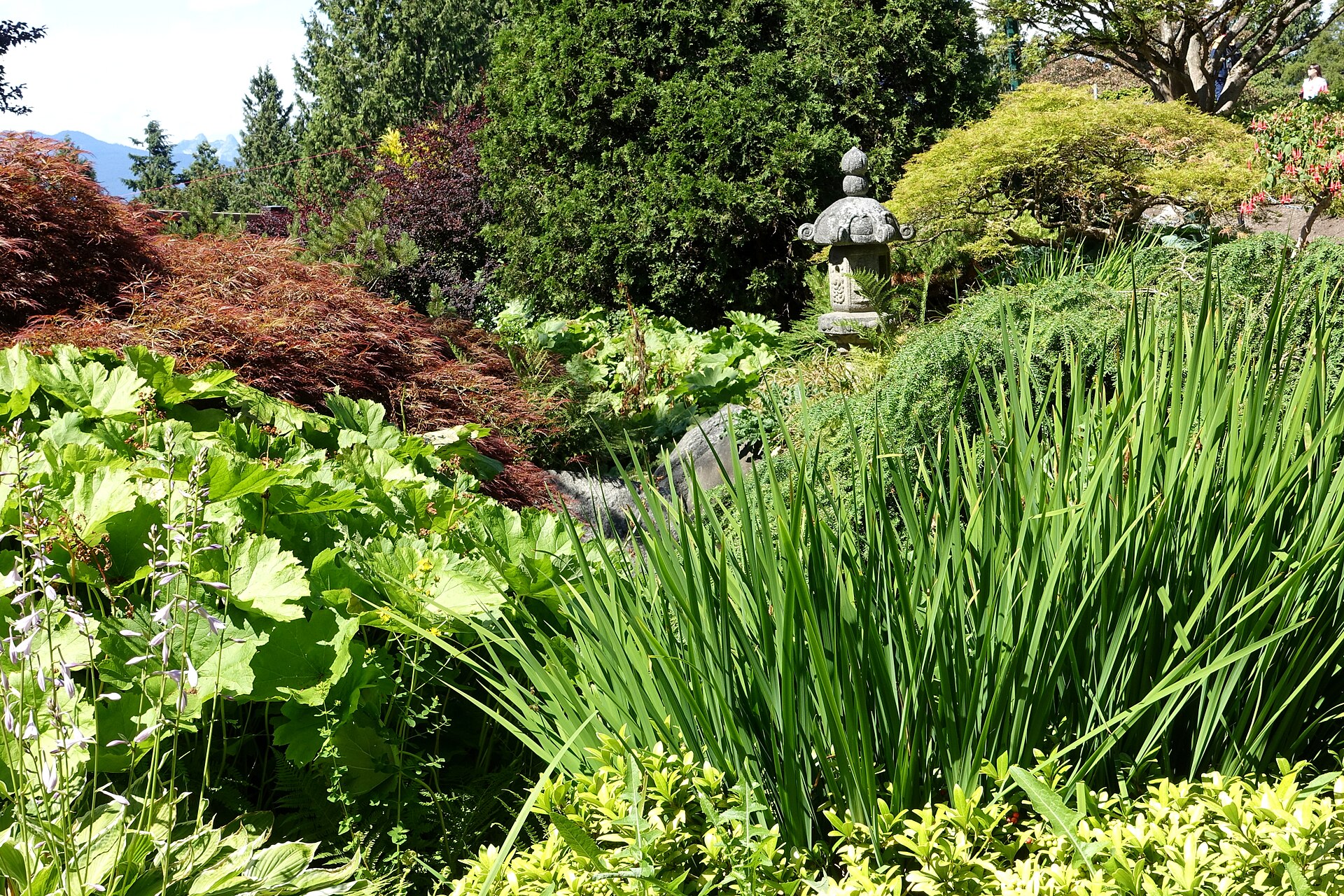
Queen Elizabeth Park -Vancouver, British Columbia, Canada. · Daderot · CC0
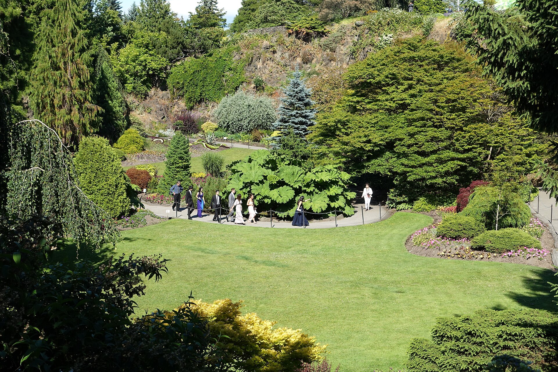
Main Quarry Garden - Queen Elizabeth Park - Vancouver, British Columbia, Canada. · Daderot · CC0
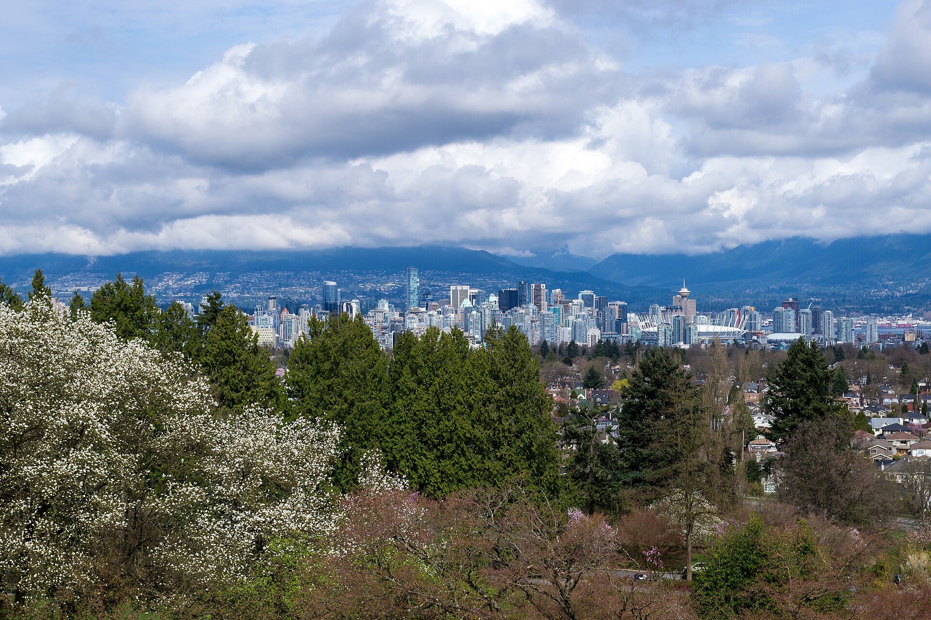
View of Downtown Vancouver from Queen Elizabeth Park · Xicotencatl · CC BY-SA 4.0
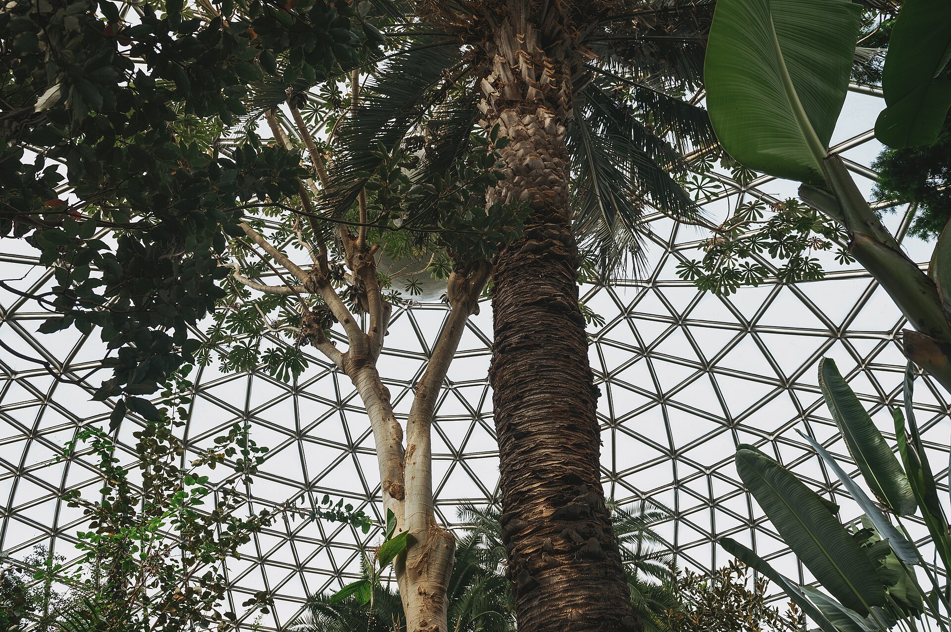
Ceiling of the Bloedel Conservatory's Dome · AStoynov · CC BY 4.0

A short hilly loop over the city's highest point, past the quarry gardens with views north to the North Shore mountains.

Start
Queen Elizabeth Park · Bloedel Conservatory plaza
End
Queen Elizabeth Park · Bloedel Conservatory plaza · return to the same point
Mindful-pace time
Let your breath choose the pace; pause at crossings.
Step-free rating
Step-free access not verified
Distance
3.62km
Elevation
+70m
Mindful tempo
Breath-led
Elevation profilePaved park paths and park roads; steady hills
+21m0.00.91.82.73.6
+48m gainPeak21 m · 3.62km
Elevation profile: total gain48metres, peak21m above start, low-27 m.
Tempo engine ·Recovering
Nasal breath
5:23–6:00 /km

Nasal breath only. If you can't hold the nose, walk 20 steps and restart.

Accessibility ·Access not surveyed

Foot-routed public paths; steps, kerbs, crossings and temporary closures may occur. Wheelchair and cycle access have not been surveyed. Follow local signs.

Wheelchair Stroller Step-free
Along the way
  • WaterCarry water; fountain availability has not been checked.
  • BenchesPark and waterfront seating may be available; no fixed rest-point interval is promised.
  • ToiletsCheck current public toilet locations before setting out.
  • ShadeMixed tree cover and exposed sections.
  • Rest pointsPause clear of the running line, crossings and shared cycle paths.
Why this route restores

A short hilly loop over the city's highest point, past the quarry gardens with views north to the North Shore mountains.

False Creek Seawall Loop — Seawall, Granville Island, city waterfront
Morning·Seawall, Granville Island, city waterfront

False Creek Seawall Loop

9.44km+75 mBreath-led
Access not surveyed
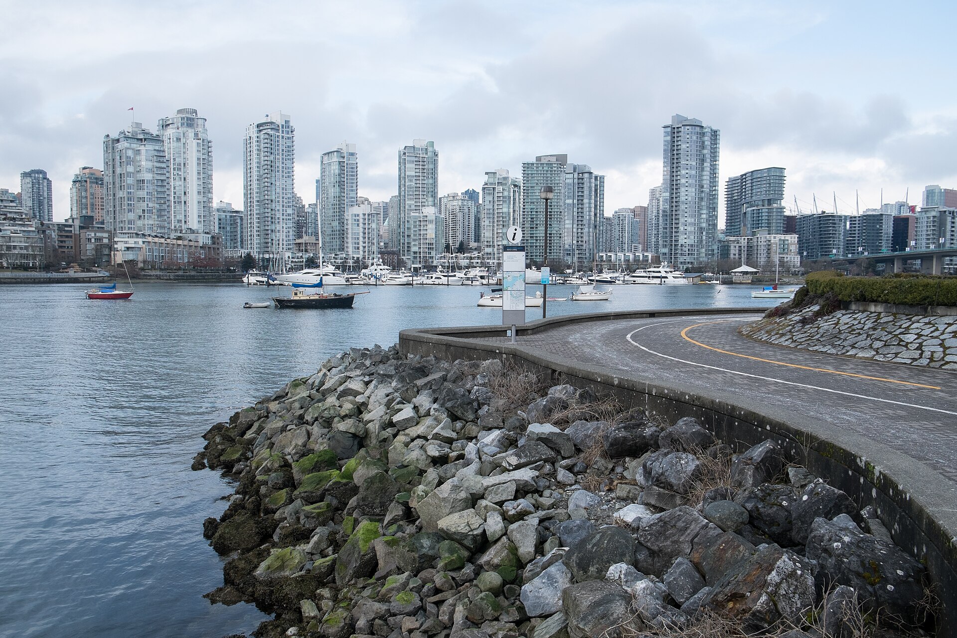
False creek seawall · Paul Sableman · CC BY 2.0
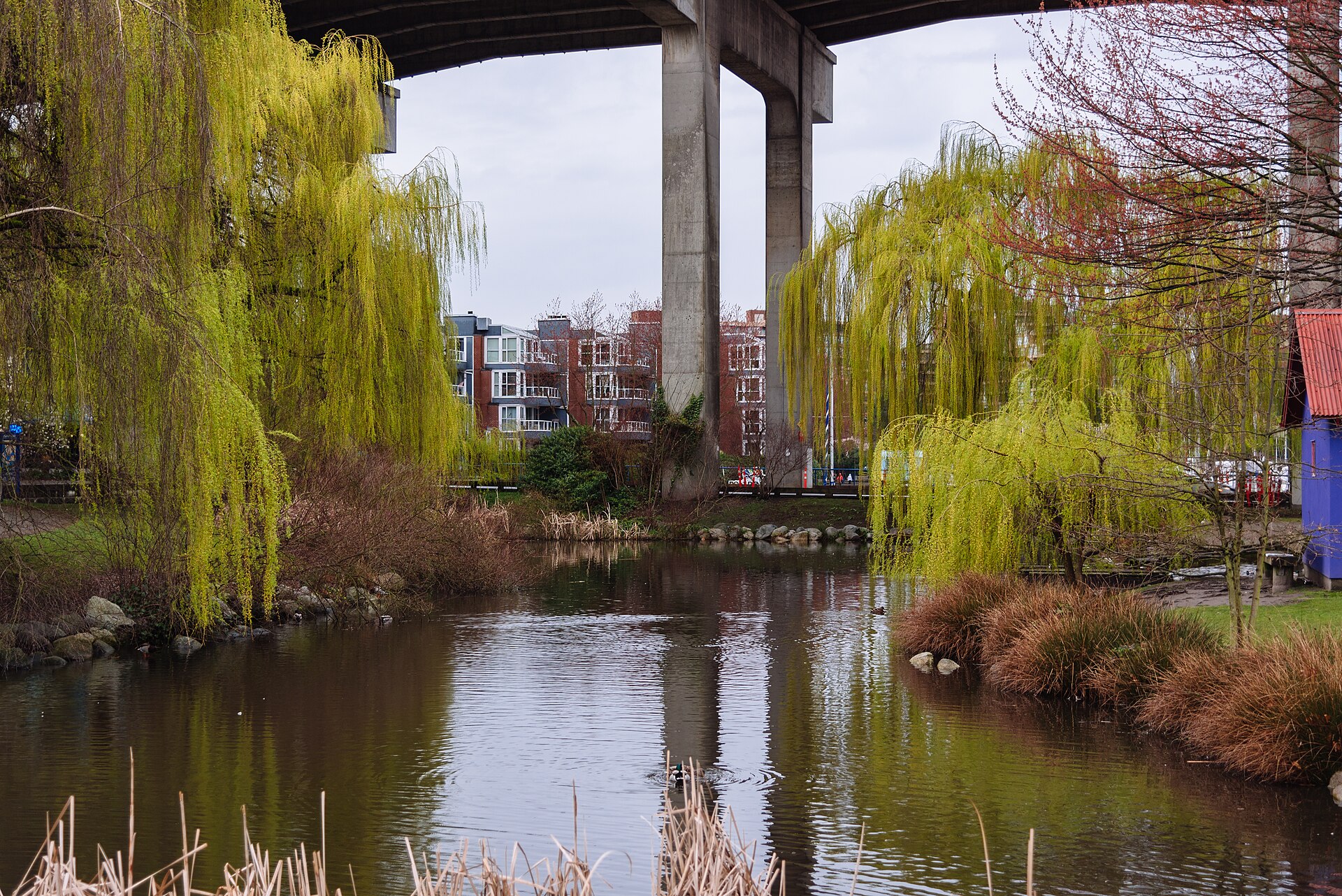
View towards Granville Street bridge from Granville Island, Vancouver, Canada · Xicotencatl · CC BY-SA 4.0
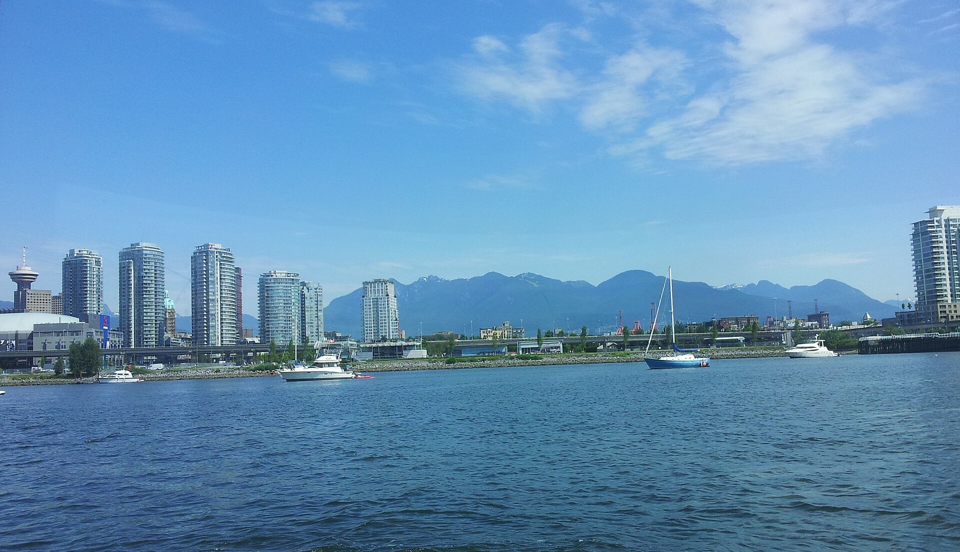
Vancouver from False Creek (Olympic Village) · Shane Smith · CC BY-SA 3.0
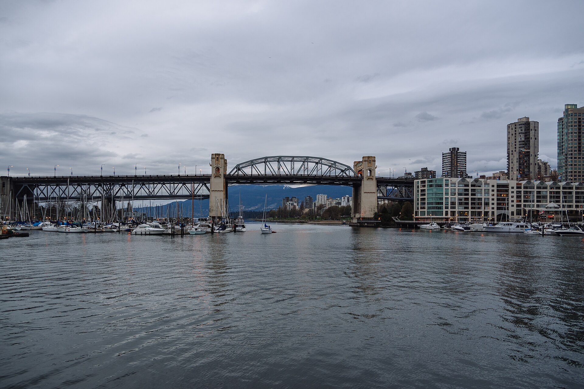
Burrard Bridge, Vancouver, Canada · Xicotencatl · CC BY-SA 4.0

All the way round False Creek on the seawall: Yaletown, over Burrard Bridge on its sidewalk, Granville Island and the Olympic Village back to Science World.

Start
Science World · Main Street–Science World station
End
Science World · Main Street–Science World station · return to the same point
Mindful-pace time
Let your breath choose the pace; pause at crossings.
Step-free rating
Step-free access not verified
Distance
9.44km
Elevation
+75m
Mindful tempo
Breath-led
Elevation profilePaved seawall with separate cycle lane; bridge sidewalk
+21m0.02.44.77.19.4
+22m gainPeak21 m · 9.44km
Elevation profile: total gain22metres, peak21m above start, low-1 m.
Tempo engine ·Steady
5:20–5:58 /km

Move at the pace your breath still writes sentences in.

Accessibility ·Access not surveyed

Foot-routed public paths; steps, kerbs, crossings and temporary closures may occur. Wheelchair and cycle access have not been surveyed. Follow local signs.

Wheelchair Stroller Step-free
Along the way
  • WaterCarry water; fountain availability has not been checked.
  • BenchesPark and waterfront seating may be available; no fixed rest-point interval is promised.
  • ToiletsCheck current public toilet locations before setting out.
  • ShadeMixed tree cover and exposed sections.
  • Rest pointsPause clear of the running line, crossings and shared cycle paths.
Why this route restores

All the way round False Creek on the seawall: Yaletown, over Burrard Bridge on its sidewalk, Granville Island and the Olympic Village back to Science World.

Kitsilano – Jericho – Spanish Banks — Beaches, mountain views, out-and-back
Morning·Beaches, mountain views, out-and-back

Kitsilano – Jericho – Spanish Banks

11.07km+94 mBreath-led
Access not surveyed
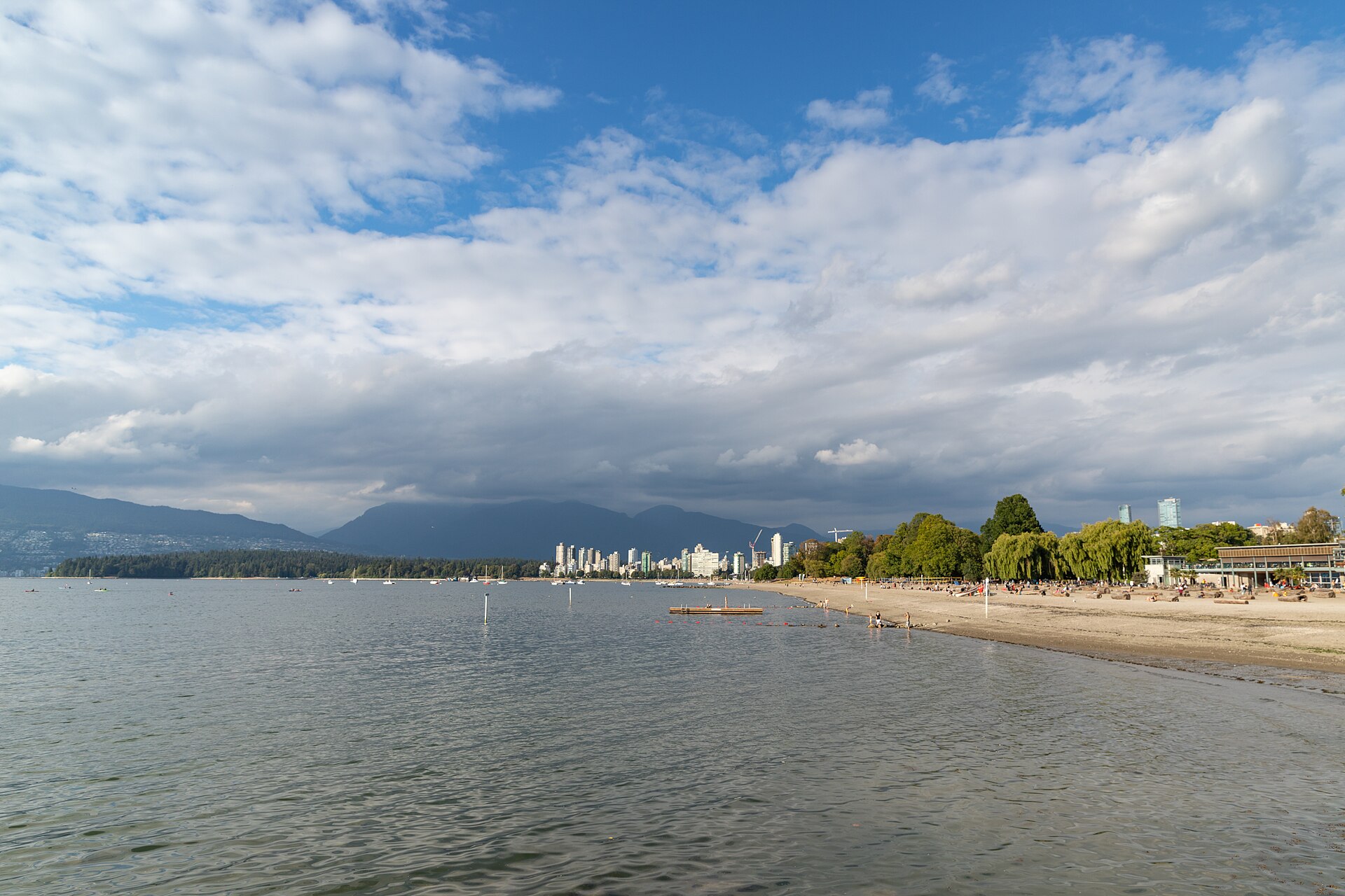
Kitsilano Beach Park Vancouver · dronepicr · CC BY 2.0
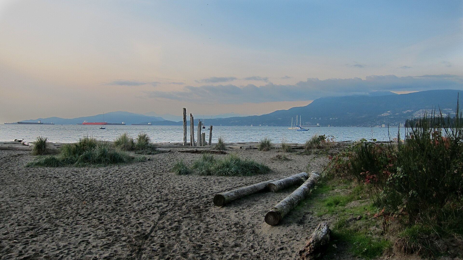
Jericho Beach at Kitsilano in Vancouver, British Columbia, Canada · Whpq · CC BY-SA 4.0
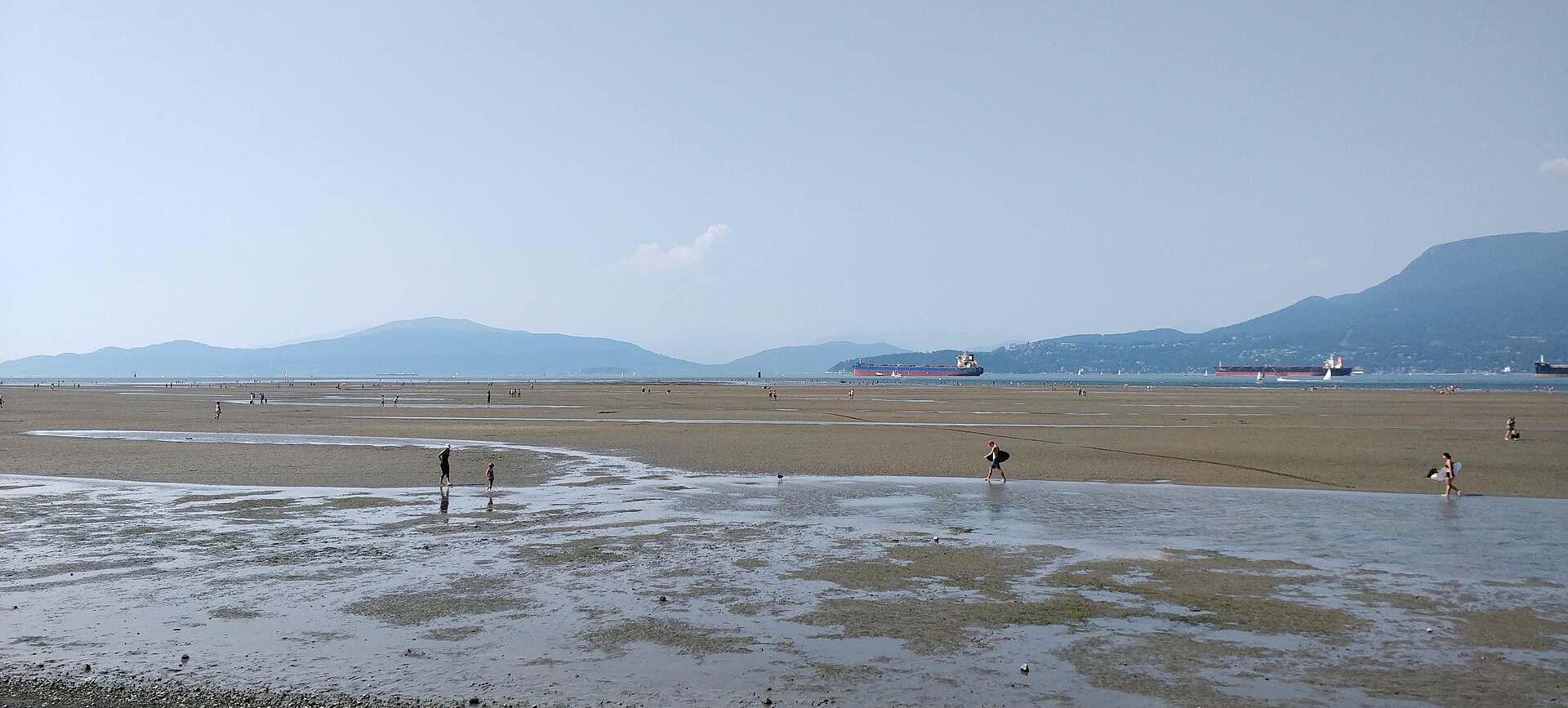
Spanish Banks, Vancouver · Ruth Hartnup from Vancouver, Canada · CC BY 2.0

Out and back along the beaches from Kitsilano past Jericho to Spanish Banks, with the mountains across English Bay the whole way. Turn at Spanish Banks and return the same way.

Start
Kitsilano Beach
End
Kitsilano Beach · return to the same point
Mindful-pace time
Let your breath choose the pace; pause at crossings.
Step-free rating
Step-free access not verified
Distance
11.07km
Elevation
+94m
Mindful tempo
Breath-led
Elevation profilePaved and gravel beach paths
+17m0.02.85.58.311.1
+17m gainPeak17 m · 11.07km
Elevation profile: total gain17metres, peak17m above start, low0 m.
Tempo engine ·Steady
5:21–6:00 /km

Move at the pace your breath still writes sentences in.

Accessibility ·Access not surveyed

Foot-routed public paths; steps, kerbs, crossings and temporary closures may occur. Wheelchair and cycle access have not been surveyed. Follow local signs.

Wheelchair Stroller Step-free
Along the way
  • WaterCarry water; fountain availability has not been checked.
  • BenchesPark and waterfront seating may be available; no fixed rest-point interval is promised.
  • ToiletsCheck current public toilet locations before setting out.
  • ShadeMixed tree cover and exposed sections.
  • Rest pointsPause clear of the running line, crossings and shared cycle paths.
Why this route restores

Out and back along the beaches from Kitsilano past Jericho to Spanish Banks, with the mountains across English Bay the whole way. Turn at Spanish Banks and return the same way.

Xymove Composer

Compose a soul-tuned loop

Give it a starting point and a feeling. Xymove reads the land, the light and the soul character — and answers with one composed loop, not a list.

Time of day
Soul emphasis · (2/4)
2 of 4 chosen

One composed loop — real footpaths, park lanes and quiet corridors only. Never a list.

All Cities
One shared standard · Four tempos

The PureSoul family moves with the same heart.Choose the tempo the day is asking for.

Visit the PureSoul Family hub

Shared maps · shared GPX engine · shared Soul Signature language. Whichever door you enter, the craft standard is the same.