
- Distance
- 12km
- Elevation
- +45m
- Difficulty
- Easy
- Best season
- Apr — Oct
- Soul quality
- Water9.4
Paved towpath · compacted gravel
IArrivalZürich · Dawn
IIThe path12 km · Easy
Xymove · rendering the line
Xymove Map
12 km loop
Live · pinch, drag, zoom47.364, 8.541
Measuring the drawn line…
Elevation · +45 mOpen in OSM
+45 m gainPeak 45 m · 12 km
Elevation profile: total gain 45 metres, peak 45 m above start, low 0 m.Snapped to real footpaths · Garmin · Strava · Komoot · Coros · Apple Watch

IIIPresenceWhat this loop asks of you, and gives back.
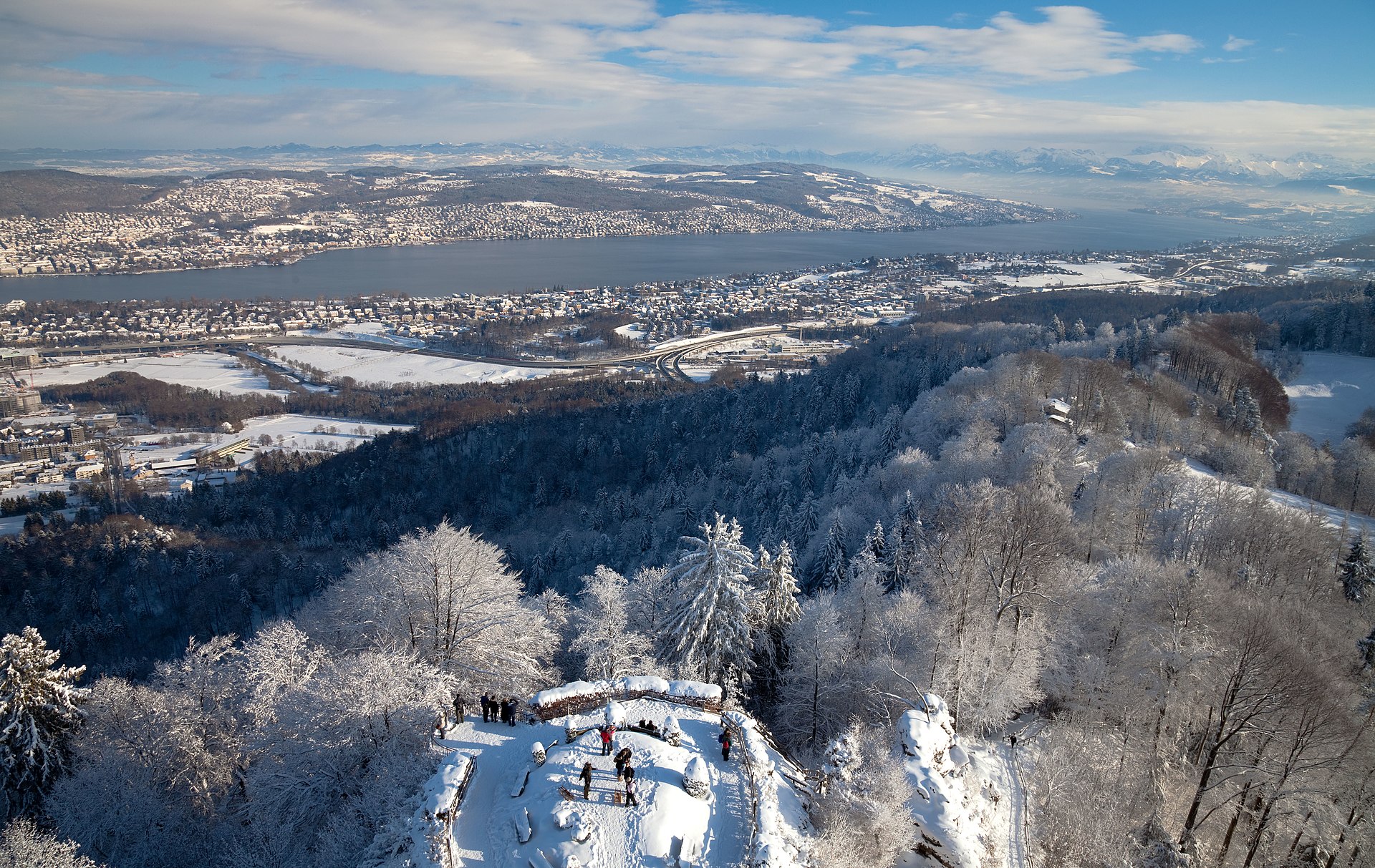
Alps at the far shore, swans as company.
Tempo engine · Flowing
4:54–5:29 /km
Ride the line. If effort spikes, ease back into the rhythm — don't push through.
Continuous paths with occasional short ramps or gentle slopes. Sturdy strollers and most wheelchairs manage well; a companion is a kindness on the two or three brief rises. Long line — rest points every 2–3 km recommended for wheelchair users.
Wheelchair Stroller Step-free
- WaterCafé refill stops every 2–3 km · public fountains at squares
- BenchesBenches at every square and along the waterfront
- ToiletsPublic toilets at 2–3 points along the route · park pavilions and transit hubs
- ShadePartial tree shade · carry a cap for high sun
- Rest pointsCafé terraces and square benches — plenty of civilised places to stop
Because moving beside water borrows its willingness — the current does part of the settling for you.