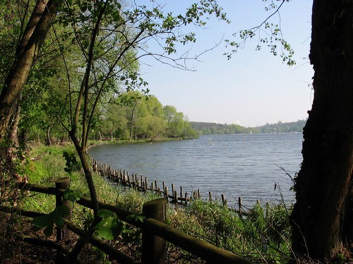
Berlin·Morning·Forest, rolling
Grunewald Forest Long
14 km+180 m5:35 /km
- Distance
- 14km
- Elevation
- +180m
- Difficulty
- Easy
- Best season
- Apr — Oct
- Soul quality
- Nature9.4
Soft forest track · packed earth
IArrivalBerlin · Morning
IIThe path14 km · Easy
Xymove · rendering the line
Xymove Map
14 km loop
Live · pinch, drag, zoom52.484, 13.220
Measuring the drawn line…
Elevation · +180 mOpen in OSM
+180 m gainPeak 180 m · 14 km
Elevation profile: total gain 180 metres, peak 180 m above start, low 0 m.Snapped to real footpaths · Garmin · Strava · Komoot · Coros · Apple Watch


IIIPresenceWhat this loop asks of you, and gives back.
Pine soft-track, Havel light, city forgotten.
Tempo engine · Recovering
Nasal breath5:26–6:14 /km
Nasal breath only. If you can't hold the nose, walk 20 steps and restart.
Rolling gradients and mixed surfaces. Comfortable for off-road strollers and adaptive trail chairs; not suitable for standard wheelchairs. Long line — rest points every 2–3 km recommended for wheelchair users.
Wheelchair Stroller Step-free
- WaterCarry your own water — one or two springs off-line but no reliable fountains
- BenchesLog benches at overlooks and trail junctions
- ToiletsPublic toilets at 2–3 points along the route · park pavilions and transit hubs
- ShadeDeep tree cover for most of the line
- Rest pointsOverlook rocks and grass clearings at 2–3 km intervals
Because green is the frequency the nervous system was tuned for. Every kilometre here is a small argument against the week you just had.