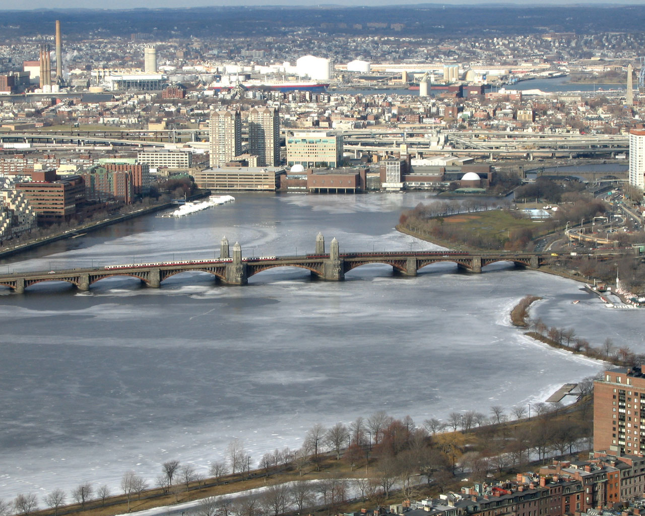
Boston·Dawn·River, flat, classic
Charles River Loop
10.5 km+25 m5:10 /km
- Distance
- 10.5km
- Elevation
- +25m
- Difficulty
- Easy
- Best season
- Apr — Oct
- Soul quality
- Water9.2
Paved towpath · compacted gravel
IArrivalBoston · Dawn
IIThe path10.5 km · Easy
Xymove · rendering the line
Xymove Map
10.5 km loop
Live · pinch, drag, zoom42.358, -71.081
Measuring the drawn line…
Elevation · +25 mOpen in OSM
+25 m gainPeak 25 m · 10.5 km
Elevation profile: total gain 25 metres, peak 25 m above start, low 0 m.Snapped to real footpaths · Garmin · Strava · Komoot · Coros · Apple Watch


IIIPresenceWhat this loop asks of you, and gives back.
Boston and Cambridge trading across the water.
Tempo engine · Flowing
4:51–5:24 /km
Ride the line. If effort spikes, ease back into the rhythm — don't push through.
No stairs, no stiles. Continuous smooth surface, curb cuts throughout, gentle gradients under 3%.
Wheelchair Stroller Step-free
- Water5–7 drinking fountains along the route · marked at each park gate
- BenchesBenches every 200–400 m through the green sections
- ToiletsPublic toilets at 2–3 points along the route · park pavilions and transit hubs
- ShadeDappled tree shade through the park sections · open at water
- Rest pointsLawns and lakeside benches every kilometre for a proper sit
Because moving beside water borrows its willingness — the current does part of the settling for you.