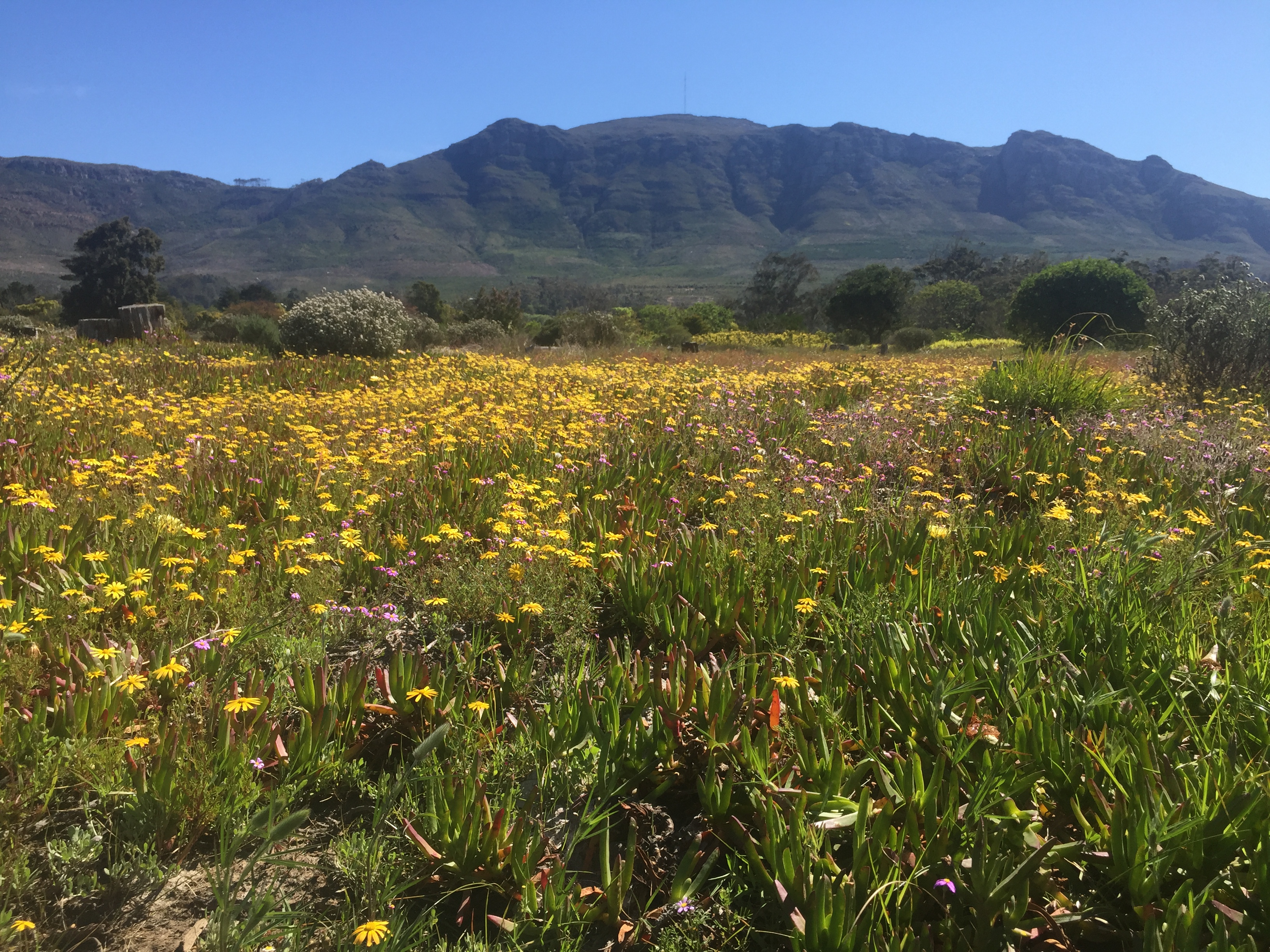
Cape Town·First light·Forest greenbelt, rolling
Constantia Greenbelts
9 km+180 m5:35 /km
- Distance
- 9km
- Elevation
- +180m
- Difficulty
- Moderate
- Best season
- Apr — Oct
- Soul quality
- Nature9.2
wide fine-gravel forest track with occasional root sections
IArrivalStart · Constantia Greenbelt Alphen entrance (accessible parking · buggy-friendly core)
IIThe path9 km · Moderate
Xymove · rendering the line
Xymove Map
9 km loop
Live · pinch, drag, zoom-34.030, 18.424
Measuring the drawn line…
Elevation · +180 mOpen in OSM
+77 m gainPeak 77 m · 9 km
Elevation profile: total gain 77 metres, peak 77 m above start, low 0 m.Snapped to real footpaths · Garmin · Strava · Komoot · Coros · Apple Watch


IIIPresenceWhat this loop asks of you, and gives back.
Oak leaf, mountain stream, vineyards near.
Start
Constantia Greenbelt Alphen entrance (accessible parking · buggy-friendly core)
End
Constantia Greenbelt Alphen entrance (loop returns to start)
Mindful-pace time
1 h 20 min walking · 45 min running
Step-free rating
★★★★☆ Mostly accessible · adaptive strollers and confident mobility users
Tempo engine · Contemplative
Nasal breath5:28–6:16 /km
Let the shoulders drop every kilometre. Speed is not the point — presence is.
Predominantly wide fine-gravel forest track with occasional root sections with a few brief unpaved sections. Off-road strollers and adaptive trail chairs manage well; standard road wheelchairs can complete the paved core.
Wheelchair Stroller Step-free
- WaterRefill at the trailhead visitor centre and mid-loop pavilion
- BenchesTimber log benches every 200 m and at each viewpoint
- ToiletsAccessible toilets at the trailhead and mid-loop pavilion
- ShadeFull indigenous canopy on the entire loop
- Rest pointsWaterfall overlook, mid-loop clearing — a stillness the city cannot reach
Because the Constantia Greenbelts are a network of oak-leaf lanes through a wine valley — mountain streams, quiet homes, and a forest almost nobody knows.