
Lisbon·Golden hour·Riverfront, flat
Tagus Belém Line
8.8 km+45 m5:18 /km
- Distance
- 8.8km
- Elevation
- +45m
- Difficulty
- Easy
- Best season
- Apr — Oct
- Soul quality
- Water9.1
Paved towpath · compacted gravel
IArrivalLisbon · Golden hour
IIThe path8.8 km · Easy
Xymove · rendering the line
Xymove Map
8.8 km loop
Live · pinch, drag, zoom38.696, -9.206
Measuring the drawn line…
Elevation · +45 mOpen in OSM
+45 m gainPeak 45 m · 8.8 km
Elevation profile: total gain 45 metres, peak 45 m above start, low 0 m.Snapped to real footpaths · Garmin · Strava · Komoot · Coros · Apple Watch


IIIPresenceWhat this loop asks of you, and gives back.
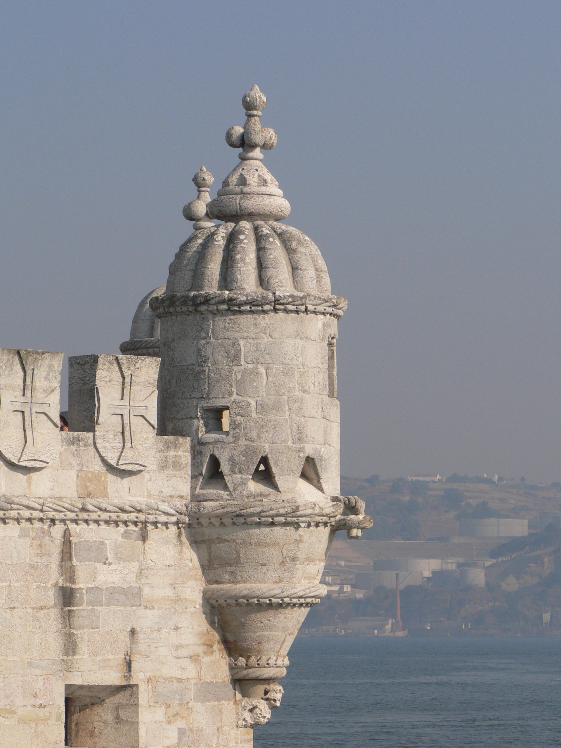
Tile glare, caravel light, an estuary opening wide.
Tempo engine · Steady
4:59–5:34 /km
Move at the pace your breath still writes sentences in.
Continuous paths with occasional short ramps or gentle slopes. Sturdy strollers and most wheelchairs manage well; a companion is a kindness on the two or three brief rises.
Wheelchair Stroller Step-free
- Water3–4 drinking fountains · at park gates and central lawns
- BenchesBenches every 200–400 m through the green sections
- ToiletsPublic toilets at start/end · park pavilion mid-way
- ShadeDappled tree shade through the park sections · open at water
- Rest pointsLawns and lakeside benches every kilometre for a proper sit
Because moving beside water borrows its willingness — the current does part of the settling for you.